
What is recorded here
Rathaspick Castle stood beside its medieval church in County Westmeath when surveyed in 1659, still in repair according to the parish terrier. The castle vanished without a trace, leaving no stones in Rathaspic House or visible remains on the ground. Whatever walls guarded that place have surrendered completely to the earth, erasing even the memory of their shape.
Medieval castle of Rathaspick depicted on the 1659 Down Survey map of Moygoish barony (NLI, MS 723-4). The castle is depicted standing beside the medieval church (WM005-008---) of Rathaspick on the 1659 Down Survey map of Rathaspick parish (ibid.). The terrier of the parish map states that the castle at Rathaspicke was 'in repaire' (ibid.) Castle site located to E of Rathaspic House and 70m S of Rathaspick Church (WM005-008----). Site of Castle annotated on 1837 ed. OS 6-inch map and marked in area to E of Rathaspic House. No surface remains visible of any castle or of any cut stone incorporated into Rathaspic House or the outbuildings associated with Rathaspic House. The precise location of this castle has not been identified.
Compiled by: Frank Coyne & Caimin O'Brien
Date of upload: 13 December 2016
The monument record does not grant public access. Check the route and ask the landowner before entering private land.
- What survives
- Recorded monument
Places near here
 Church in RathaspickChurch · 84 yd
 Ecclesiastical enclosure in RathaspickEcclesiastical enclosure · 214 yd
 St. Dermots WellHoly well · 296 yd
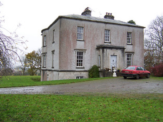 Crumlin Housecountry house · 776 yd
 Sweet ChestnutSweet Chestnut · 1078 yd
 OutlinedBawn · 1.1 mi
 Silver FirSilver Fir · 1.6 mi
 CastleCastle, motte · 2.4 mi
 Edgeworthstown BypassMemorial · 4.7 mi
 Abbeyshrule AbbeyRuins · 6.1 mi
 Granard MotteMotte-and-bailey castle remains · 9.7 mi
 1798 Monumentmonument · 9.8 mi
Other information
Photo: Credit not shown in the picture search · Rights wording not checked; contact us if this picture should be removed