
What is recorded here
Possible ecclesiastical enclosure identified by Swan (1988, 14) who recorded that the road pattern W of the graveyard (WM005-008001-) indicated the presence of an Early Christian ecclesiastical enclosure. The curving road located 75m W of Rathspick graveyard may be following the curving outline of an Early Christian eccelsiastical enclosure.
Compiled by: Caimin O’Brien
Date of upload: 25 August 2015
The monument record does not grant public access. Check the route and ask the landowner before entering private land.
- What survives
- Recorded monument
Places near here
 St. Dermots WellHoly well · 95 yd
 Church in RathaspickChurch · 194 yd
 Site of CastleCastle, unclassified · 214 yd
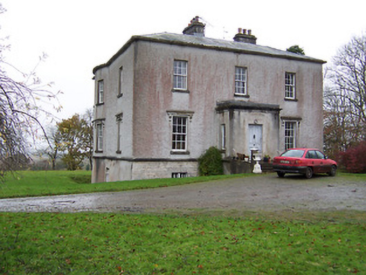 Crumlin Housecountry house · 585 yd
 Concentric enclosure in CarrigaghConcentric enclosure · 781 yd
 Sweet ChestnutSweet Chestnut · 881 yd
 OutlinedBawn · 1.2 mi
 Silver FirSilver Fir · 1.5 mi
 Edgeworthstown BypassMemorial · 4.6 mi
 Abbeyshrule AbbeyRuins · 6.0 mi
 Granard MotteMotte-and-bailey castle remains · 9.7 mi
 1798 Monumentmonument · 9.8 mi
Other information
Photo: Credit not shown in the picture search · Rights wording not checked; contact us if this picture should be removed