
What is recorded here
Situated on a low natural rise surrounded by relatively low-lying gently undulating poorly drained land with good views to the ESE, S and SSW. A circular area (diam. 33m) enclosed by a wide low earthen bank levelled at N and S, and a flat slightly concave berm (Wth 9m) defined by a low earthen bank best preserved from S to W, with an external fosse visible from NE-E. The interior is fairly even and featureless. Total overall diameter of the monument measures approx. 70m. From SSE-S an old laneway depicted on the 1837 ed. OS 6-inch map skirts the perimeter of the monument. A field boundary running NE-SW transects the perimeter of the site at S. The presence of the encircling slightly concave berm is unusual and suggests that this monument may be classified as a concentric enclosure. Alternatively the surface of the berm is slightly concave and could be the remains of an inner fosse which would suggest a henge-type or large barrow-type monument.
Compiled by: Frank Coyne & Caimin O'Brien
Date of upload: 19 December 2016
The monument record does not grant public access. Check the route and ask the landowner before entering private land.
- What survives
- Recorded monument
Places near here
 Dotted outlineFairy fort / earthen ringfort · 567 yd
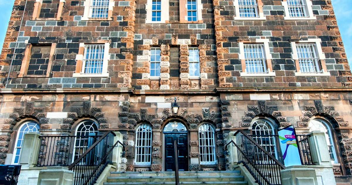 St. Dermots WellHoly well · 743 yd
 Site of CastleCastle, unclassified · 775 yd
 Church in RathaspickChurch · 848 yd
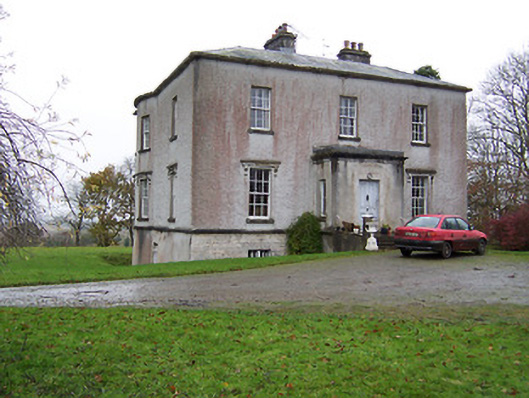 Crumlin Housecountry house · 1248 yd
 Sweet ChestnutSweet Chestnut · 1475 yd
 OutlinedBawn · 1661 yd
 Silver FirSilver Fir · 2.0 mi
 Edgeworthstown BypassMemorial · 4.9 mi
 Abbeyshrule AbbeyRuins · 5.7 mi
 Granard MotteMotte-and-bailey castle remains · 10 mi
 Rock of CurryCliff · 11 mi
Other information
Photo: Credit not shown in the picture search · Rights wording not checked; contact us if this picture should be removed