What is recorded here
Castle, motte and bailey in Joanstown, County Westmeath, Ireland. It is a circular flat-topped mound, twenty metres north-south and nineteen east-west, with slight fosse remains at the southwest and a second arc of bank and fosse fifteen metres away. It sits on low wet pasture ten metres east of the Black River, near an earthwork eighty metres southeast and a tangle of old field drains. The mound was dug in the past, perhaps when the river course changed, and a wide bank visible in a November 2011 aerial photograph may be part of a bailey.
Situated on low lying wet pasture-land, 10m E of the Black River, which forms the boundary with the townland of Corey. Earthwork (WM006-063----) 80m to SE. The whole area is criss-crossed with old field drains. A circular flat-topped mound (dims. 20m N-S; 19m E-W) with slight remains of a fosse at SW. A second arc of an earthen bank and external fosse visible to SW, 15m from the base of the motte. The mound has been impacted by digging in the past, possibly when the course of the river was diverted. The earthwork to the SW may be the remains of a river embankment. However, there seems to be a wide bank visible on the Digital Globe aerial photograph taken November 2011 12m to SE of the motte, which may suggest part of an enclosing element of a bailey.
Compiled by: Frank Coyne & Caimin O'Brien
Date of upload: 30 January 2017
The monument record does not grant public access. Check the route and ask the landowner before entering private land.
- What survives
- Recorded monument
Places near here
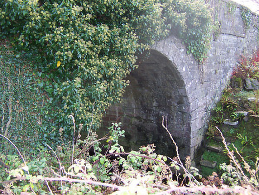 Ardglass Bridgebridge · 489 yd
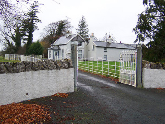 Fairy Hallhouse · 651 yd
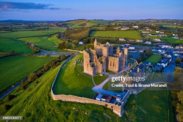 Partially hachuredEnclosure · 1665 yd
 OutlinedBawn · 1.2 mi
 Site of CastleCastle, unclassified · 1.3 mi
 Ecclesiastical enclosure in RathaspickEcclesiastical enclosure · 1.4 mi
 Sweet ChestnutSweet Chestnut · 1.8 mi
 Silver FirSilver Fir · 2.2 mi
 Edgeworthstown BypassMemorial · 5.5 mi
 Granard MotteMotte-and-bailey castle remains · 9.6 mi
 1798 Monumentmonument · 9.6 mi
 Bully's Acregraveyard/cemetery, unknown · 11 mi