
What is recorded here
Situated on a natural rise of ground with good views in all directions, with castle (WM005-009----) 60m to S and St. Dermot's Well (WM005-007----) 220m to W. Medieval church of Rathaspick depicted on the 1659 Down Survey map of Moygoish barony (NLI, MS 723-4). The church is depicted standing beside the medieval castle (WM005-009---) of Rathaspick on the 1659 Down Survey map of Rathaspick parish (ibid.). The terrier of the parish map states that the Church at Rathaspick had been 'Transformed into a Barne' (ibid.). Church building depicted standing in N quadrant of graveyard (WM005-008001-) on 1837 ed. OS 6-inch map.
Present remains consist of a short section of the W gable (L 2.5m; H c. 3.5m; wall T 1.05m) of the church still standing constructed of rough stone. No architectural features visible. About 4.5m E of the W gable a short section of the S wall (L 3m; H c. 2m) survives upstanding, possible opening for church doorway located off centre to the W, but obscured by modern grave surround and headstone. No visible remains of E or N wall of church. It is not possible to trace the entire outline of the church building because the wall is no longer visible due to the presence of post-1700 memorials.
Compiled by: Frank Coyne & Caimin O'Brien
Date of upload: 13 December 2016
The church in Rathaspick was likely built in the medieval period, with evidence of its existence recorded in the 1659 Down Survey. Its location near St. Dermot's Well suggests a possible dedication to St. Dermot, and it is significant as part of the medieval ecclesiastical landscape of the region.
The monument record does not grant public access. Check the route and ask the landowner before entering private land.
- What survives
- Recorded monument
Places near here
 Site of CastleCastle, unclassified · 84 yd
 Ecclesiastical enclosure in RathaspickEcclesiastical enclosure · 194 yd
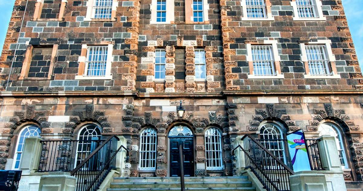 St. Dermots WellHoly well · 288 yd
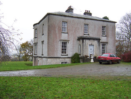 Crumlin Housecountry house · 715 yd
 Nunnery (in Ruins)Religious house, Franciscan Third Order Regular · 856 yd
 Sweet ChestnutSweet Chestnut · 1020 yd
 OutlinedBawn · 1.2 mi
 Silver FirSilver Fir · 1.6 mi
 Edgeworthstown BypassMemorial · 4.6 mi
 Abbeyshrule AbbeyRuins · 6.1 mi
 Granard MotteMotte-and-bailey castle remains · 9.7 mi
 1798 Monumentmonument · 9.7 mi
Other information
Photo: Credit not shown in the picture search · Rights wording not checked; contact us if this picture should be removed