
What is recorded here
Situated on top of a low ridge, on poorly drained land. Concentric enclosure (WM005--014----) 470m to ENE, ringfort (WM005-016----) 225m to SW, ringfort (WM005-011----) 160m to W. A roughly D-shaped area (approx. int. diam. 24.5m N-S; 25m E-W) defined by a very low bank from SE-S-W-N, with traces of a slight fosse from ENE-E-S. There is a suggestion of an outer bank and vague traces of a second fosse outside this from SSW-W-N. The site has been intersected by post-1700 field boundaries at NE and SW. Depicted on the 1837 ed. OS 6-inch map as a D-shaped with straight side at NE where it formed a field boundary. There are hollow depressions the result of quarrying activity visible at ENE, N & NE. No sign of an entrance feature. The interior is level, with traces of post-1700 cultivation ridges roughly running NE-SW across the monument.
Compiled by: Frank Coyne & Caimin O'Brien
Date of upload: 19 December 2016
The monument record does not grant public access. Check the route and ask the landowner before entering private land.
- What survives
- Recorded monument
Places near here
 Hut site in BallygarveyHut site · 221 yd
 Concentric enclosure in CarrigaghConcentric enclosure · 567 yd
 Site of CastleCastle, unclassified · 1228 yd
 Church in RathaspickChurch · 1282 yd
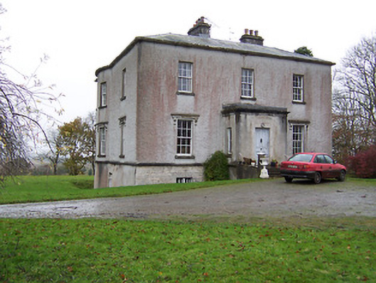 Crumlin Housecountry house · 1418 yd
 Sweet ChestnutSweet Chestnut · 1549 yd
 OutlinedBawn · 1.2 mi
 ShawbrookForest · 1.7 mi
 Edgeworthstown BypassMemorial · 4.8 mi
 Abbeyshrule AbbeyRuins · 5.4 mi
 Saint Mel's CathedralCathedral · 12 mi
 First World War MemorialMemorial · 12 mi
Other information
Photo: Credit not shown in the picture search · Rights wording not checked; contact us if this picture should be removed