What is recorded here
The site (Wth 1.27m; D 0.3m) appears to be orientated ENE-WSW and is composed of split timbers, light brushwood, twigs, a single roundwood, occasional small stones and a small pocket of clay. At the base of the deposit is a single longitudinal roundwood, (diam. 0.1m) overlain by a transverse, radially split timber (L 1.27m; Wth 0.09m; D 0.1m). Directly above this is an irregular deposit of closely laid light brushwood and twigs, interspersed with occasional small stones and a small pocket of clay with two overlying small transverse split timbers. Three further small split timbers are irregularly deposited above the main body of the site. This site lies in moderately humified Sphagnum peat. A sighting of SMR OF010-161----, a key component of which is a gravel/clay deposit, is 2.8m to the SW. SMR OF010-184---- lies 3.9m SW of this site.
Compiled by: Irish Archaeological Wetland Unit (University College Dublin).
Date of upload: 23 May 2011
The monument record does not grant public access. Check the route and ask the landowner before entering private land.
- What survives
- Recorded monument
Places near here
 Not indciatedStructure, peatland · 181 yd
 RoadRoad, class 1 togher · 267 yd
 StructureStructure, peatland · 390 yd
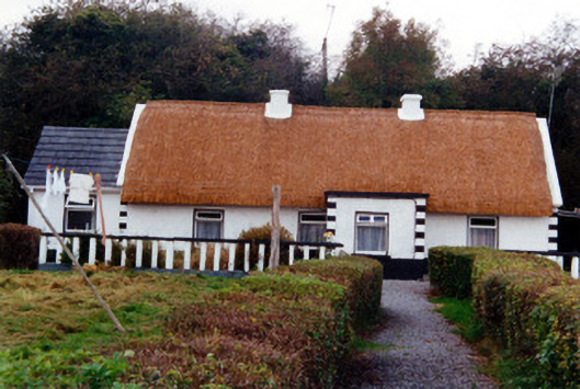 farm housefarm house · 1.0 mi
 CastleCastle, unclassified · 1.1 mi
 Graveyard in BallycommonGraveyard · 1.2 mi
 Saint Clavin's WellSpring · 1.4 mi
 Kill Castle (ruins)Castle, tower house · 1.5 mi
 Cruil HillMountain / peak · 2.0 mi
 Lackan HillMountain / peak · 2.1 mi
 Children's WellSpring · 2.7 mi
 Bracklin WoodWood · 3.8 mi