What is recorded here
A regular deposit (Wth 0.74m; D 0.25m) of closely set pieces of brushwood. Although the orientation of the structure is unclear all the elements are orientated E-W and slope downward at the NE extent. The site is in poorly humified Sphagnum peat with occasional Eriophorum. SMR OF010-317---- and SMR OF010-318---- are 0.25m and 1.2m to the NE, respectively.
Compiled by: Irish Archaeological Wetland Unit (University College Dublin).
Date of upload: 23 May 2011
The monument record does not grant public access. Check the route and ask the landowner before entering private land.
- What survives
- Recorded monument
Places near here
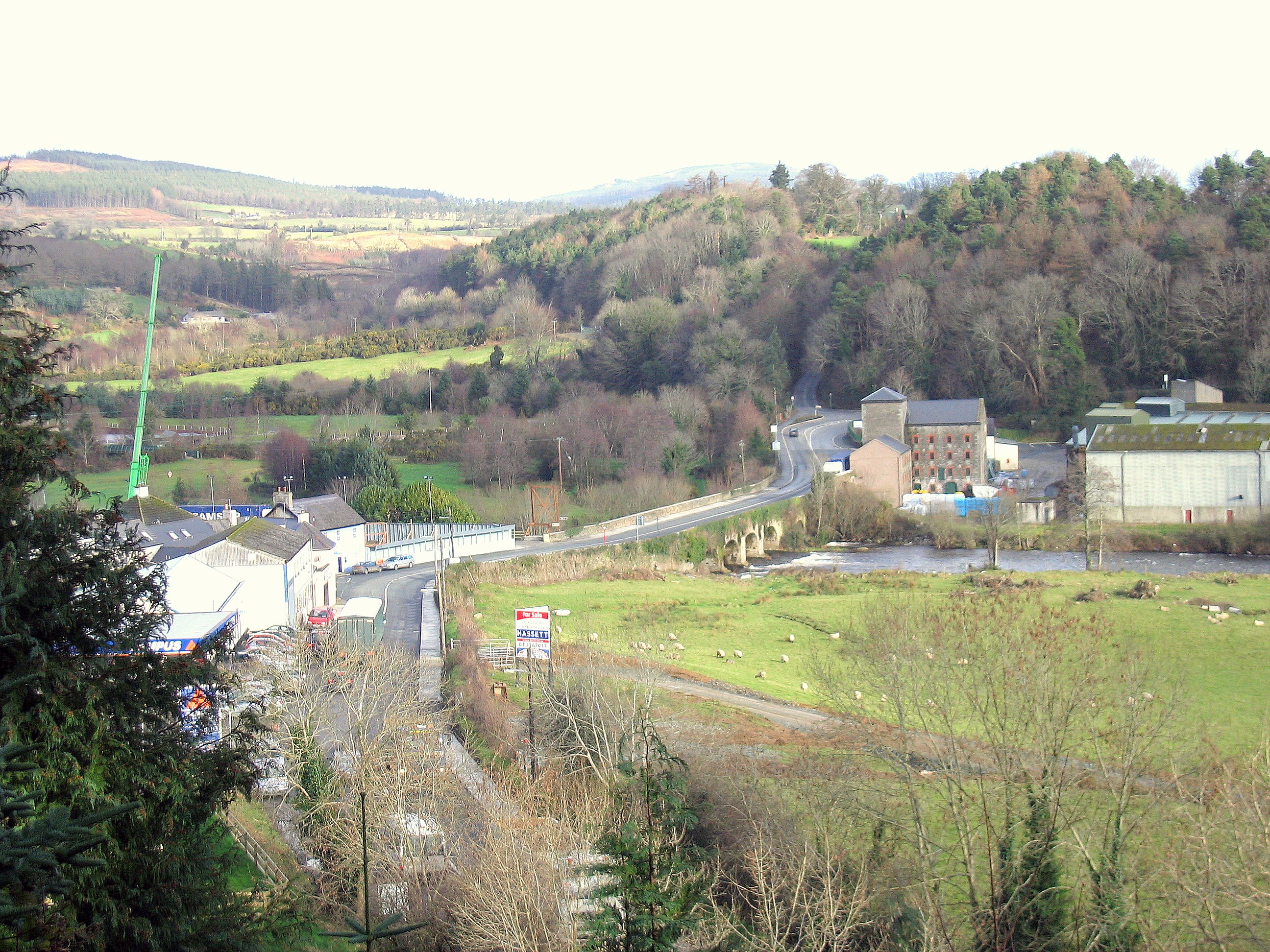 Enclosure in RathdrumEnclosure · 226 yd
 Not indciatedStructure, peatland · 353 yd
 RoadRoad, class 1 togher · 479 yd
 CastleCastle, unclassified · 1601 yd
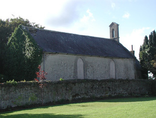 Saint Francis's Church (Ballycommon)church/chapel · 1.1 mi
 Graveyard in BallycommonGraveyard · 1.1 mi
 Saint Clavin's WellSpring · 1.4 mi
 Kill Castle (ruins)Castle, tower house · 1.5 mi
 Cruil HillMountain / peak · 2.0 mi
 Lackan HillMountain / peak · 2.0 mi
 Children's WellSpring · 2.6 mi
 Bracklin WoodWood · 3.6 mi