What is recorded here
This site is located in the industrial peatlands of Toar Bog. It was recorded in the 2013 Reassessment Peatland Survey as as elements exposed on the field surface, most likely representing the remains of a roundwood and brushwood togher. It was visible on the field surface on opposing sides of a drain. Sighting A comprised a scatter of roundwood and brushwood elements mainly oriented NE-SW. Sighting B comprised of fragmentary brushwood elements that were oriented WNW–ESE. The peat was poorly humified Sphagnum rich pool peat with Eriophorum inclusions (Whitaker 2014). A fragment of alder was chosen for AMS dating and returned a result of cal. AD 887–1011 (UBA 26617).
Compiled by: Jane Whitaker, Femke Vleeshouwer
Date of upload: 03/03/2020
The monument record does not grant public access. Check the route and ask the landowner before entering private land.
- What survives
- Recorded monument
Places near here
 StructureStructure, peatland · 490 yd
 Partially hachuredFairy fort / ringfort · 1364 yd
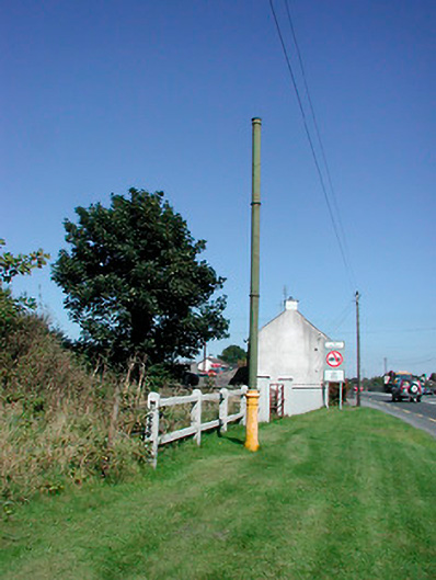 vent pipevent pipe · 1.2 mi
 Sallyfield Houserectory/glebe/vicarage/curate's house · 1.2 mi
 Tyrrellspass CastleCastle, tower house · 1.3 mi
 Montrath Castle (in ruins)Castle, tower house · 1.4 mi
 Ardan WoodWood · 2.2 mi
 Lackan HillMountain / peak · 2.5 mi
 Bonfire HillMountain / peak · 3.1 mi
 Bracklin WoodWood · 4.2 mi
 Finnrenashark Holy WellSpring · 4.6 mi
 Croghan HillMountain / peak · 4.6 mi