
What is recorded here
Detached three-bay two-storey over half-basement former rectory, built c.1818. Now in use as private house. Hipped natural slate roof with two rendered chimneystacks to centre and cast-iron rainwater goods. Roughcast rendered walls over smooth rendered plinth. Square-headed window openings with six-over-three pane timber sliding sash windows to first floor and six-over-six timber sash windows to ground floor, cut stone sills throughout. Round-headed doorcase to centre with cut stone surround, nine panelled timber door and fanlight over. Entrance reached by flight of four cut stone steps to front (south). Set back from the main road in extensive mature grounds with outbuildings to rear (north) and pair of cast-iron gates with cut stone gateposts and rubble limestone boundary walls to the south. Located to the west of Tyrrellspass and to the northeast of associated church (15403812).
A well-proportioned, if modestly scaled, former glebe house, which retains its early character and form. The surviving original features such as the timber sash windows, the timber panelled door and the fine doorcase all contribute to the character of the structure. This building is of social importance on account of its original function as a glebe house serving the local Church of Ireland community at Newtown. Lewis (1837) states that this glebe house was built in 1818 at the expense of £1147, of which using a gift of £323 and a loan of £415 from the Board of First Fruits. The associated church is located a short distance to the southwest (15403812). The outbuilding to the rear (north) and the gates and boundary wall to the south completes the composition. This attractive structure remains an integral part of the architectural heritage of Westmeath and an attractive structure in the landscape to the west of Tyrrellspass.
From the Buildings of Ireland (National Inventory of Architectural Heritage) record 15322001
This does not grant access. Most recorded buildings are privately owned; view them only from public ground unless the owner allows entry.
Places near here
Photo credits
- National Inventory of Architectural Heritage
- Brian Shaw, Wikimedia Commons · CC BY-SA 2.0
- MookiePlays, Wikimedia Commons · CC BY-SA 4.0
- Sarah777 at en.wikipedia, Wikimedia Commons · Public domain
- kevin higgins, Wikimedia Commons · CC BY-SA 2.0
- Dalenevada, Wikimedia Commons · CC BY-SA 4.0
- JP, Geograph · CC BY-SA 2.0
- Willow, Wikimedia Commons · CC BY 2.5
 vent pipe452 yd
 milestone/milepost822 yd
 Tyrrellspass CastleCastle, tower house · 1113 yd
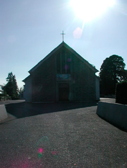 Saint Stephen's Catholic ChurchChurch/chapel · 1117 yd
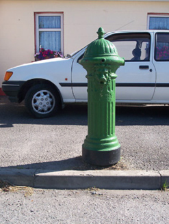 water pump1230 yd
 CastleCastle, unclassified · 4.0 mi
 Croghan HillMountain / peak · 5.4 mi
 St. Columbkilles CrossCross, High cross · 6.4 mi
 CrossCross, High cross · 6.5 mi
 Grand Canal WayWalking route · 7.9 mi
 European ash7.9 miEuropean ash7.9 mi
More historic places in County Westmeath · All of County Westmeath
What do you know about this place?