What is recorded here
The site (Wth 1.24m; D 0.49m) is composed of three layers, the upper one of which may represent a separate phase. The lowest layer (Wth 0.88m; D 0.15m) consists of brushwood (diam. 0.036-0.056m), a split timber, twigs and two pegs. The brushwood forms two bundles, 0.46m apart at each side of the site and includes a quarter-split timber. The middle layer (Wth 1.13m; D 0.2m) consists of irregularly laid brushwood (diam. 0.025-0.05m), a high amount of twigs and four pegs. The twigs occur both in beds and scattered throughout the brushwood. The upper layer (Wth 0.68m; D 0.14m) consists of closely set, parallel heavy brushwood, some twigs and a peg. Wood species include alder, willow, hazel, birch, Pomoideae and holly. The wood is in good condition with evidence for woodworking. Radiocarbon dated to cal. AD 775-1000 (UCD-0147). The two lower layers of the site occur in moderately humified Sphagnum peat with Eriophorum, ericaceous roots and a large amount of fibrous roots. The upper layer is set in very similar peat but with less fibrous roots. SMR WM039-208---- is located 3m to the SW.
Date of upload: 13 August 2013
The monument record does not grant public access. Check the route and ask the landowner before entering private land.
- What survives
- Recorded monument
Places near here
 StructureStructure, peatland · 526 yd
 Partially hachuredFairy fort / ringfort · 1374 yd
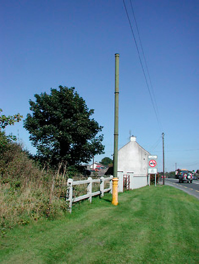 vent pipevent pipe · 1.1 mi
 Sallyfield Houserectory/glebe/vicarage/curate's house · 1.2 mi
 Tyrrellspass CastleCastle, tower house · 1.3 mi
 Montrath Castle (in ruins)Castle, tower house · 1.4 mi
 Ardan WoodWood · 2.3 mi
 Lackan HillMountain / peak · 2.5 mi
 Bonfire HillMountain / peak · 3.2 mi
 Bracklin WoodWood · 4.2 mi
 Finnrenashark Holy WellSpring · 4.5 mi
 Croghan HillMountain / peak · 4.6 mi