
What is recorded here
Situated on poorly drained land with bog to N. Three timbers belonging to a short togher were unearthed c. 0.3-0.5m below the surface of the ground by the local landowner while carrying out land reclamation in this area. The togher (L c. 3m; Wth 9-15m) is orientated E-W and consists of three or four longitudinal oak planks (dims. L 15.2m/9m; 0.3m x 0.2m) laid side by side which appear to overlie a dense bed of twigs. The planks appear to have been laid down over a small pond or waterlogged hollow depression in order to provide access over this waterlogged area. There are no visible remains of any other timbers belonging to this togher. This class 3 togher or short peatland structure appears to have been laid down to provide a crossing over the pond feature connecting two pieces of dry land on either side of the pond.
Compiled by: Caimin O'Brien
Date of upload: 16 December 2013
This remains an important historical record, but the official description says the monument is no longer visible or has been destroyed. The monument record does not grant public access. Check the route and ask the landowner before entering private land.
- What survives
- No visible remains or recorded as destroyed
Places near here
 IndicatedEnclosure · 1231 yd
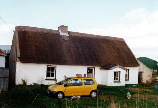 farm housefarm house · 1.0 mi
 Clara Bog BoardwalkHeritage attraction · 1.1 mi
 Ballinough Big RockMass-rock · 1.3 mi
 Church in AghnananaghChurch · 1.3 mi
 Castle (in ruins)Castle, tower house · 1.3 mi
 Trumpet HillMountain / peak · 1.6 mi
 Kilcoursey Castle (in Ruins)Bawn · 2.0 mi
 Chapel HillForest · 2.3 mi
 European ashEuropean ash · 2.6 mi
 Inchaloon IslandIslet · 3.0 mi
 ToberaskeenSpring · 3.8 mi
Other information
Photo: Credit not shown in the picture search · Rights wording not checked; contact us if this picture should be removed