
What is recorded here
According to local information there was a medieval village (OF016-041002-), which was bulldozed in the 1970s, located to the SW of the castle (pers. comm. Vincent Cummins). According to local information there was the ruins of a small building known locally as the 'old church' (OF016-004003-) located 110m to the SW of the castle, this building was levelled in the 1950s and only a low rise of ground indicates the site of the possible church today (pers. comm. Vincent Cummins). Approximately 180m SW of the castle (OF014-004001-) a 14th century chalice known as the De Burgo chalice was discovered in the 1930s and this chalice is now stored in the National Museum of Ireland.
A local church or high cross; wider significance not recorded.
The monument record does not grant public access. Check the route and ask the landowner before entering private land.
- What survives
- Recorded monument
Places near here
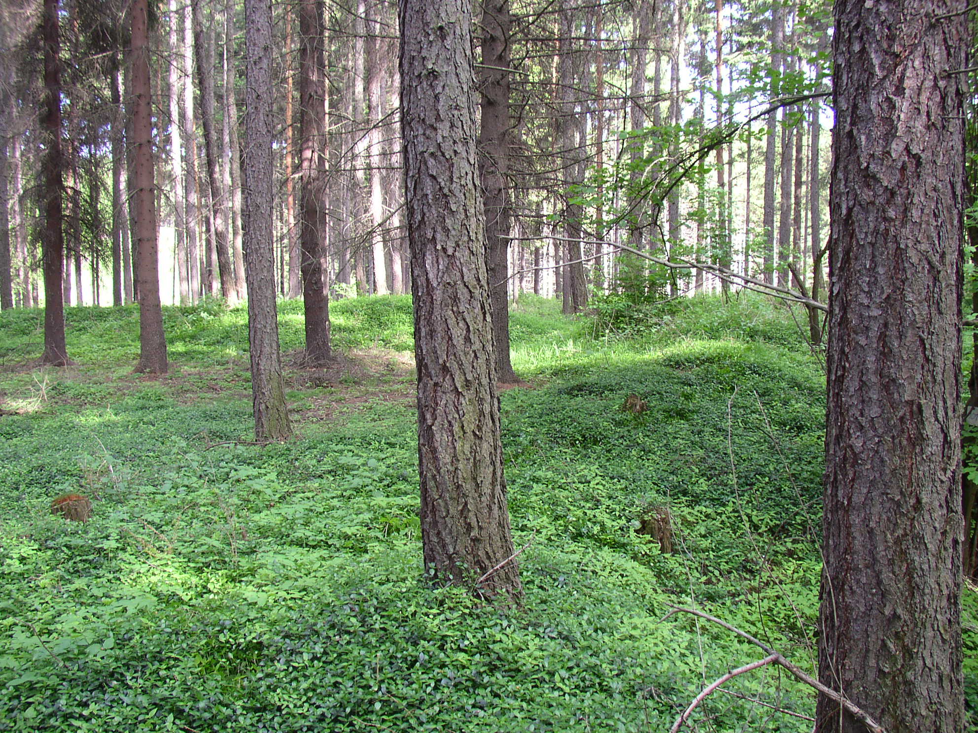 Settlement desertedSettlement deserted, medieval · 102 yd
 Castle (in ruins)Castle, tower house · 120 yd
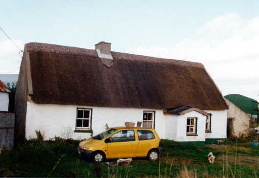 farm housefarm house · 609 yd
 Trumpet HillMountain / peak · 869 yd
 Burial ground in AharneyBurial ground · 1281 yd
 Castle in ruinsCastle, unclassified · 1.2 mi
 RoadRoad, class 3 togher · 1.3 mi
 European ashEuropean ash · 1.7 mi
 European YewEuropean Yew · 2.0 mi
 Clara Bog BoardwalkHeritage attraction · 2.4 mi
 Christ's WellSpring · 3.1 mi
 St. Columba's WellSpring · 3.2 mi
Other information
Photo: Credit not shown in the picture search · Rights wording not checked; contact us if this picture should be removed