
What is recorded here
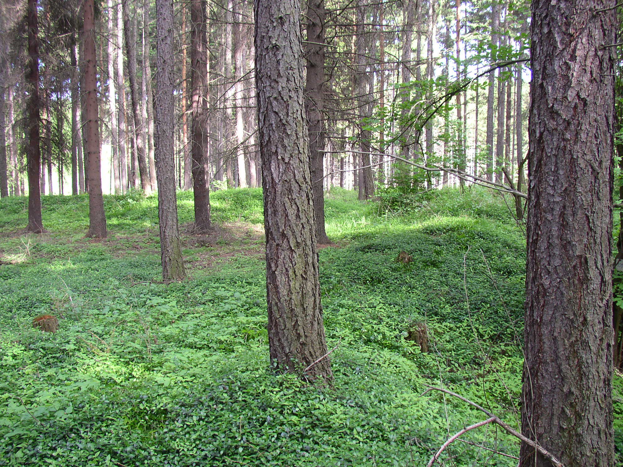
Situated on top of a low rise of ground with good views in all directions, the rear gardens of a row of modern bungalows backs onto the W side of the burial ground. According to local information this was the site of an 'old burial ground which was never used in the lifetime of the local people (pers. comm. Vincent Cummings). The site consists of a low rise of ground (H 0.4m; diam. 15) in the N corner of a field with remains of a fosse running from E to W which delimits the S side of the burial ground. This fosse belongs to an old field boundary indicated on the 1838 ed. OS 6-inch map which formed a small triangular shaped field (dims. 50m x 22m) in the N corner of the field as shown on the 1838 OS 6-inch map. This small triangular field was the burial ground which appears to have been fenced off from the rest of the larger field in which it is situated. The local farmer avoids ploughing int this corner of the field due to the local tradition of it being an old burial ground.
A local ancient tomb; wider significance not recorded.
The monument record does not grant public access. Check the route and ask the landowner before entering private land.
- What survives
- Recorded monument
Places near here
 Mound in BallykilmurryMound · 638 yd
 Castle (in Ruins)Castle, unclassified · 924 yd
 Castle in ruinsCastle, unclassified · 1222 yd
 Church in AghnananaghChurch · 1281 yd
 Settlement desertedSettlement deserted, medieval · 1329 yd
 Coleraine Flour MillMill, corn · 1514 yd
 European ashEuropean ash · 1726 yd
 Trumpet HillMountain / peak · 1.1 mi
 Ballyduff WoodForest · 2.1 mi
 St. Columba's WellSpring · 2.5 mi
 Clara Bog BoardwalkHeritage attraction · 2.8 mi
 Christ's WellSpring · 3.0 mi
Other information
Photo: Credit not shown in the picture search · Rights wording not checked; contact us if this picture should be removed