What is recorded here
The site (L 8.6m min.; Wth 1.03m min.; D 0.27m min.) with a likely NW-SE orientation, slopes down from the NE to below the water level in the drain base. The elements are densely packed, predominantly composed of beds of twigs with overlying brushwood and a heavy roundwood and mixed brushwood elements at the base of the deposit and at the SW examined extent. The uppermost light brushwood, overlying the NE extent, may form part of a hurdle. The site is in moderately humified Sphagnum peat. SMR OF010-070---- is 0.26m above this site.
Compiled by: Irish Archaeological Wetland Unit (University College Dublin).
Date of upload: 23 May 2011
The monument record does not grant public access. Check the route and ask the landowner before entering private land.
- What survives
- Recorded monument
Places near here
 Not indciatedStructure, peatland · 210 yd
 RoadRoad, class 1 togher · 275 yd
 StructureStructure, peatland · 367 yd
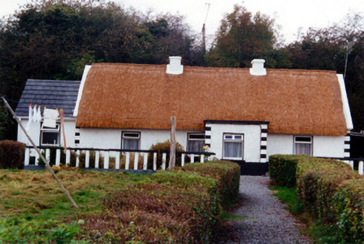 farm housefarm house · 1.0 mi
 CastleCastle, unclassified · 1.1 mi
 Graveyard in BallycommonGraveyard · 1.2 mi
 Saint Clavin's WellSpring · 1.4 mi
 Kill Castle (ruins)Castle, tower house · 1.5 mi
 Cruil HillMountain / peak · 2.0 mi
 Lackan HillMountain / peak · 2.1 mi
 Children's WellSpring · 2.7 mi
 Bracklin WoodWood · 3.8 mi