What is recorded here
On flat bogland which is partly cut-away on the N bank of the W-E Lung river, c. 1km from where it enters Lough Gara Upper. Investigated in 1966 by E. Rynne. A N-S stone and timber structure (L c. 430m), c. 0.6-1.5m below the surface of the bog, led to what must once have been a fording point across the Lung river as it is continued by the wooden togher (RO008-027----) on the S bank. At the S end of this section the construction consisted of a sub-structure of brushwood overlain by tranverse planks (alder) retained by vertical pegs of oak and birch, with a superstructure of two layers of sandstone flags also retained by vertical pegs, forming a narrow walking surface (Wth c. 0.9m). At the N end a stone paving supported by a sub-structure of longditudional roundwoods and planks (Ash) was retained by pegs (alder and oak) above a layer of brushwood. It provided radiocarbon dates of 1398-1217 BC (3050±25 BP; GrN-14730) (Brindley and Lanting 1998, 55). It is no longer visible at ground level, although it may survive in uncut sections of bog. (NMI File; Golden 1992)
Compiled by: Michael Moore
Date of upload: 24 August 2010
The monument record does not grant public access. Check the route and ask the landowner before entering private land.
- What survives
- Recorded monument
Places near here
 RoadRoad, class 1 togher · 569 yd
 Crannog in Callow OR RunnawillinCrannog · 1216 yd
 Embanked enclosureFairy fort / earthen ringfort · 1267 yd
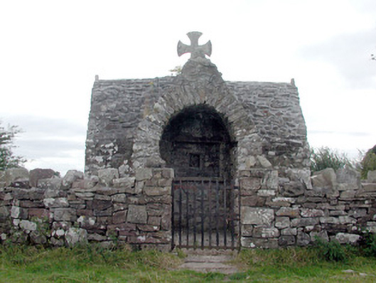 Four Altarschurch/chapel · 1607 yd
 Bawn IslandIslet · 2.9 mi
 CastleBawn · 2.9 mi
 Rose PointHeadland · 3.1 mi
 Castle PointHeadland · 3.4 mi
 Castle (in Ruins)Castle, unclassified · 3.5 mi
 Crow IslandIslet · 3.5 mi
 Bockagh HillMountain / peak · 4.1 mi
 Square WoodForest · 4.8 mi