
What is recorded here
In cut-away bog on flat, low-lying ground on the S bank of the W-E River Lung, 1.3m below the surface of Callow Bog. Investigated in 1966 by E. Rynne. A NNE-SSW timber road (L c. 100m) leading to what must have been a fording point across the Lung River where it was continued by togher (RO008-016----) on the N bank. One or two logitudinal planks (oak) retained by vertical pegs (oak) formed a narrow walking surface (Wth 0.2-0.4m). Radiocarbon dated to 1433-1316 BC (3115±25 BP; GrN-14729) (Brindley and Lanting 1998, 54-5), it is not now visible at ground level although it may survive in uncut sections of bog. (NMI file; Golden 1992)
Compiled by: Michael Moore
Date of upload: 24 August 2010
The monument record does not grant public access. Check the route and ask the landowner before entering private land.
- What survives
- Recorded monument
Places near here
 Crannog in Callow OR RunnawillinCrannog · 1247 yd
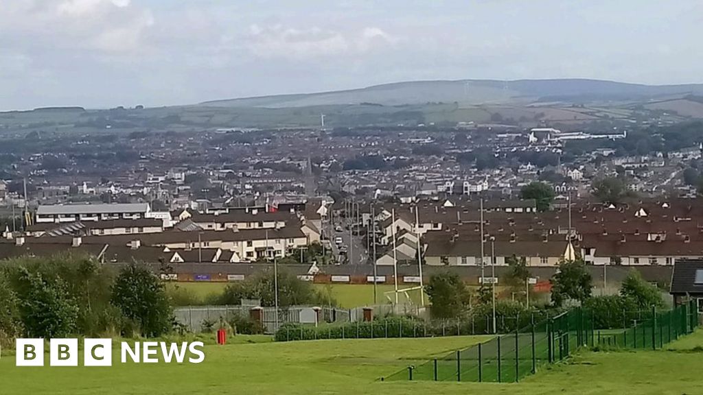 IndicatedFairy fort / ringfort · 1464 yd
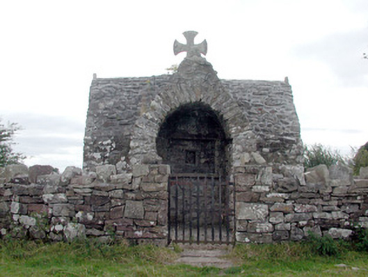 Four Altarschurch/chapel · 1706 yd
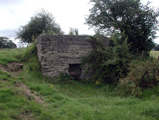 Historic buildingOfficially recorded historic building · 1.1 mi
 Bawn IslandIslet · 2.9 mi
 CastleBawn · 2.9 mi
 Rose PointHeadland · 3.3 mi
 Castle PointHeadland · 3.6 mi
 Castle (in Ruins)Castle, unclassified · 3.7 mi
 Crow IslandIslet · 3.8 mi
 Bockagh HillMountain / peak · 4.1 mi
 Square WoodForest · 4.7 mi
Other information
Photo: Credit not shown in the picture search · Rights wording not checked; contact us if this picture should be removed