
What is recorded here
On low-lying ground on the S bank of the W-E River Lung, c. 200m SW of where it enters Upper Lough Gara. Oval overgrown rise (dims. 44m NE-SW; 37m NW-SE; H 0.6m at SE to 1.6m at NE) with no evidence of artificial construction. (Fredengren 2002, App. 1, P 65; Kiln 029)
Compiled by: Michael Moore
Date of upload: 24 August 2010
The monument record does not grant public access. Check the route and ask the landowner before entering private land.
- What survives
- Recorded monument
Places near here
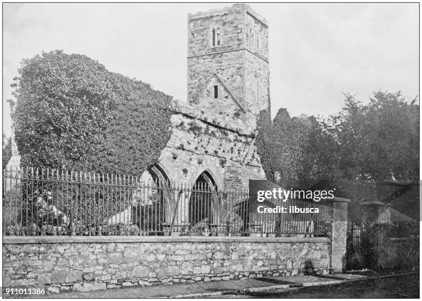 Enclosure in Annaghbeg OR MonasterredanEnclosure · 1096 yd
 RoadRoad, class 1 togher · 1247 yd
 IndicatedFairy fort / earthen ringfort · 1680 yd
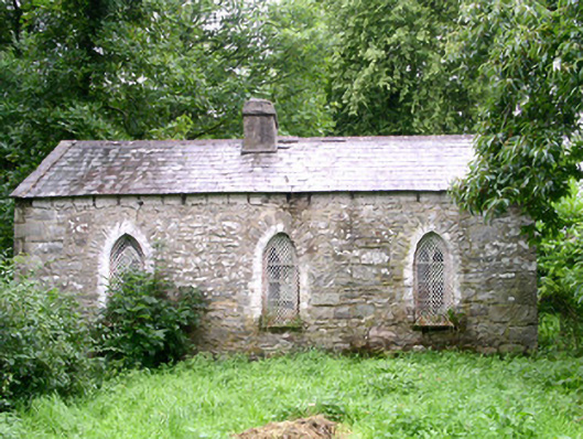 Coolavin Housegate lodge · 1.5 mi
 Bawn IslandIslet · 2.2 mi
 CastleBawn · 2.2 mi
 Rose PointHeadland · 2.7 mi
 Castle PointHeadland · 3.0 mi
 Castle (in Ruins)Castle, unclassified · 3.1 mi
 Crow IslandIslet · 3.3 mi
 Square WoodForest · 4.1 mi
 Gray's WoodForest · 4.3 mi
Other information
Photo: Credit not shown in the picture search · Rights wording not checked; contact us if this picture should be removed