What is recorded here
In rough pasture, at Castle Point which is the W end of a narrow island close to the E shore of Lough Gara. An oval platform (21m x 18.5m; H c. 0.7m) blocks off the end of the Point. The platform is defined by a stony bank (int. H 1.5m; ext. H 1.2m) with an external fosse (Wth 3m; D 1m) on the inland side N-S. On the E side of the platform are the fragmentary remains of a rectangular stone-built structure (int. dims. 7.3m x 4.7m) which has been largely reduced to a sod-covered mound of rubble. Some external wall facing, which includes blocks of dressed limestone, is evident, however, on its S side. A drystone field boundary wall (T 1.25m; H 0.3m) extends from the S side of the rubble mound to the lakeshore, blocking off the W end of the island. This is a castle of the O'Garas. In this instance the entry has been revised and updated in the light of recent research. Revised by: Paul Walsh
Date of upload/revision: 10 May 2007
In rough pasture, at Castle Point which is the W end of a narrow island close to the E shore of Lough Gara. An oval platform (21m x 18.5m; H c. 0.7m) blocks off the end of the Point. The platform is defined by a stony bank (int. H 1.5m; ext. H 1.2m) with an external fosse (Wth 3m; D 1m) on the inland side N-S. On the E side of the platform are the fragmentary remains of a rectangular stone-built structure (int.…
From the National Monuments Service (Archaeological Survey of Ireland) record SL047-008001
The monument record does not grant public access. Check the route and ask the landowner before entering private land.
- What survives
- Recorded monument
Places near here
Castle PointHeadland · 194 ydIndicatedFairy fort / stone ringfort · 317 ydInch IslandIslet · 393 ydRose PointHeadland · 1289 ydCrow IslandIslet · 1344 yd Moygara CastleCastle · 2.3 miMoygara Castle (in Ruins)Bawn · 2.3 miSaint Aidan's Catholic ChurchChurch/chapel · 2.4 miRedhill HouseHunting/fishing lodge · 2.7 miToberaraghtHoly well · 3.0 miCurlew MountainsMountain / peak · 3.8 miSquare WoodForest · 4.3 mi
_-_geograph.org.uk_-_4073628.jpg/250px-Castles_of_Connacht,_Moygara,_Sligo_(1)_-_geograph.org.uk_-_4073628.jpg "Photo: Mike Searle, Wikimedia Commons · CC BY-SA 2.0") Moygara CastleCastle · 2.3 mi
Moygara CastleCastle · 2.3 mi_-_geograph.org.uk_-_4073636.jpg/250px-Castles_of_Connacht,_Moygara,_Sligo_(2)_-_geograph.org.uk_-_4073636.jpg "Photo: Mike Searle, Wikimedia Commons · CC BY-SA 2.0") Moygara Castle (in Ruins)Bawn · 2.3 mi
Moygara Castle (in Ruins)Bawn · 2.3 mi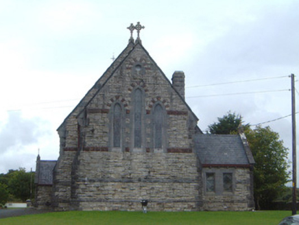 Saint Aidan's Catholic ChurchChurch/chapel · 2.4 mi
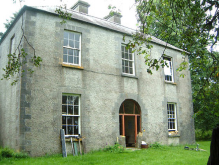 Redhill HouseHunting/fishing lodge · 2.7 mi
 ToberaraghtHoly well · 3.0 mi
 Curlew MountainsMountain / peak · 3.8 miSquare WoodForest · 4.3 mi
Pictures: Mike Searle, Wikimedia Commons · CC BY-SA 2.0; National Inventory of Architectural Heritage; Aiden Clarke, Wikimedia Commons · CC BY-SA 2.0; Wikimedia Commons contributor · CC BY 2.5
More castles and forts in County Sligo · All of County Sligo
What do you know about this place?