What is recorded here
According to Kinahan (1873, 435) a wooden causeway or togher was found at three points running S from Beggerin Island to Big Island (L c. 850m) during drainage works associated with the reclamation of the N slob of Wexford Harbour in the 1850s. He describes it as two rows of oak piles ‘one foot six inches by 9 inches (dims c. 0.45m x c. 0.2m), the rows are 4 feet (c. 1.2m) apart, with about 5 feet (c. 1.5m) between each pair, but there were no transverse timbers.’ Its course cannot be identified.
Compiled by :Michael Moore
Date of upload: 21 January, 2013
The monument record does not grant public access. Check the route and ask the landowner before entering private land.
- What survives
- Recorded monument
Places near here
 farm housefarm house · 708 yd
 Wexford Wildfowl ReserveHeritage attraction · 1281 yd
 engine houseengine house · 1420 yd
 CastleCastle, motte · 1.1 mi
 St. Colums WellHoly well · 1.2 mi
 EnclosureEnclosure, large enclosure · 1.2 mi
 Raven Point Nature ReserveForest · 1.7 mi
 Rectory Hall ForestWood · 2.1 mi
 IndicatedCastle, unclassified · 2.2 mi
 Peace GardenMemorial · 2.3 mi
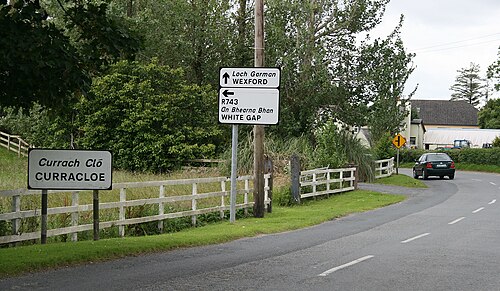 Curracloe BeachBeach / strand · 2.4 mi
 Commodore John Barry MemorialMemorial · 2.8 mi