
What is recorded here
Located at the N edge of the flat top a rock outcrop plug (diam. of top c. 10m; H c. 15m at N) that overlooks a rolling landscape. A raised step of outcrop (dims c. 2.4m N-S; 2.15m E-W; H at S 1-1.1m) has a straight S face with a square-cut natural recess (Wth 0.4m; D 0.33-0.44m). This is known as St. Mog’s chair, which is called after St. Moge of Ferns, but no folklore is known about it locally (FitzPatrick 2004, 132-3, Pl. 35). The outcrop has a covering of furze but it is approached from the SW where rough steps in a rock-face (H c. 2m) lead across an open area to a path (L c. 10m) rising northwards and turning E (L c. 10m) where further crude steps lead to the platform on top of the outcrop.
The outcrop is better known for the role it played in the 1798 rebellion. It was the point from which a group of rebels ambushed a large body of troops under the inexperienced Col. Walpole, who was taking a direct route from Gorey to Ballymore and Carrigroe Hill on June 4. General Loftus was taking a more circuitous coastal route from Gorey and was unable to assist when Walpole's troops were ambushed on the road c. 200m S of the outcrop and suffered large casualties together with the loss of their arms incuding three cannon (Pakenham 1997, 181-3). The dead were buried in Toberaranierin burial ground (WX011-039----), and this skirmish may have been its origin. The victory left the road to Gorey and Arklow open to the rebels.
Compiled by: Michael Moore
Date of upload: 30 January, 2014
The monument record does not grant public access. Check the route and ask the landowner before entering private land.
- What survives
- Recorded monument
Places near here
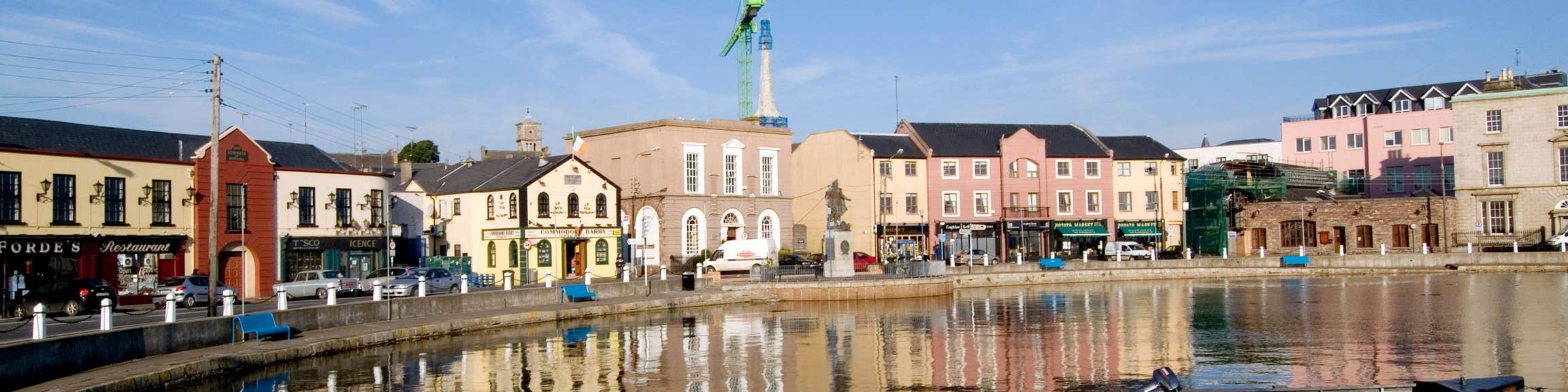 Fulacht fia in CloghFulacht fia · 663 yd
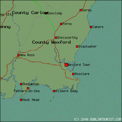 Fulacht fia in FrankfortFulacht fia · 782 yd
 farm housefarm house · 1195 yd
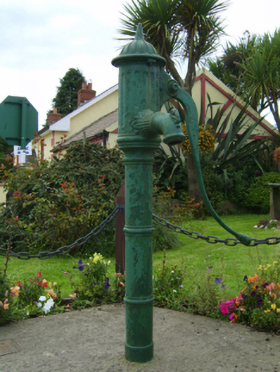 water pumpwater pump · 1354 yd
 Barnadown WoodWood · 1.4 mi
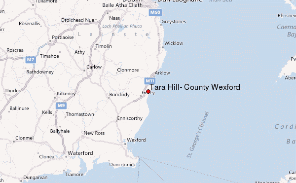 Ballyminaun HillMountain / peak · 2.0 mi
 Boley HillMountain / peak · 2.2 mi
 1798 MonumentMemorial · 3.5 mi
 Market HouseHeritage attraction · 3.8 mi
 Giants BedNamed rock · 3.8 mi
 Camolin WoodForest · 4.2 mi
 Saint Brigid's WellSpring · 5.6 mi
Other information
Photo: Credit not shown in the picture search · Rights wording not checked; contact us if this picture should be removed