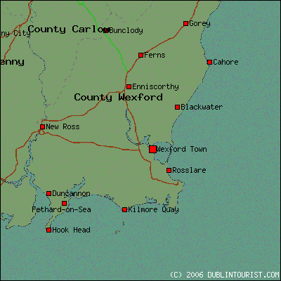
What is recorded here
Identified in centre-line testing (E4110) in advance of the M11 Gorey to Enniscorthy road scheme and set aside for resolution as Frankfort 1 (Hardy et al. 2010, 32-3). It is situated on an E-facing slope and was partially excavated (E4181) by B. Sutton. A spread of burnt mound material (dims 10m x 9.5m; max. T 0.2m) overlay two pits (diam. 0.8m; D 0.29m: 0.55m x 0.5m; D 0.18m) cut in clay with some burnt stone in the fills. There were smaller spreads separated from the main mound, which extends to the S beyond the excavated area. The earliest phase was an oval trough (dims 1.8m N-S; 1.5m E-W; max. D 0.78m) with five stake-holes at the edges of the base. The trough was filled with burnt stone material and deposits from the hillslope, suggesting a period of abandonment. A larger rectangular trough (dims 3.3m E-W; 1.9m N-S; D 0.5m) truncated the oval trough. It had four stake-holes in its base, three stake-holes in a line on its N side and a cluster of 10 stake-holes to the W. An area of burning and a hearth to the S were associated with it. A large pit (dims 4.7m NNE-SSW; 3.2m WNW-ESE; max. D 1m) just NE of the rectangular trough and which might be associated with either trough is interpreted as a water reservoir. A C14 date of cal. BC 2189-1953 was derived from the fill of the oval trough. The unrelated metalworking site (WX011-067----) is c. 200m to the WSW. (Ruttle 2011; Sutton 2013)
Compiled by: Michael Moore
Date of upload: 26 November, 2013
The monument record does not grant public access. Check the route and ask the landowner before entering private land.
- What survives
- Recorded monument
Places near here
 Habitation site in FrankfortHabitation site · 399 yd
 Ritual siteRitual site, holy/saint's stone · 782 yd
 farm housefarm house · 835 yd
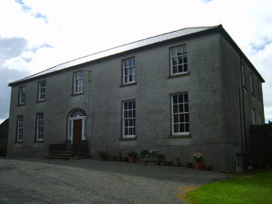 Ballinclay Housefarm house · 1272 yd
 Barnadown WoodWood · 1.8 mi
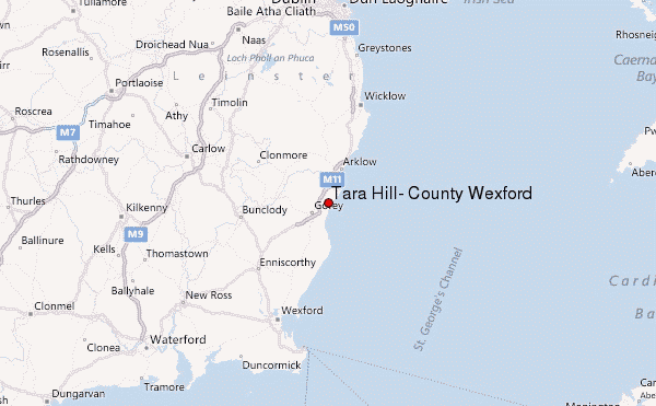 Ballyminaun HillMountain / peak · 2.3 mi
 Boley HillMountain / peak · 2.3 mi
 1798 MonumentMemorial · 3.6 mi
 Giants BedNamed rock · 3.7 mi
 Camolin WoodForest · 3.7 mi
 Market HouseHeritage attraction · 4.0 mi
 Saint Brigid's WellSpring · 5.2 mi
Other information
Photo: Credit not shown in the picture search · Rights wording not checked; contact us if this picture should be removed