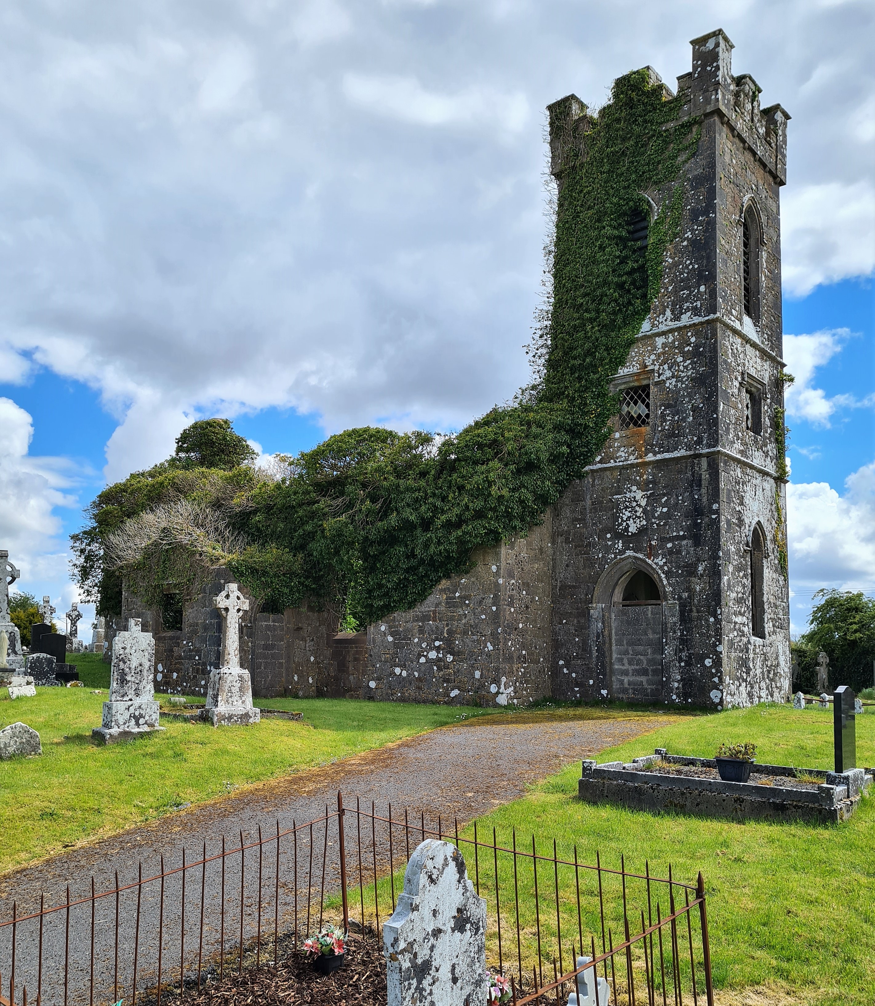
What is recorded here
In a clearing in a hazel wood on the N shore of Lough Gara and c. 15m E of a road. A roughly rectangular flat-topped sandstone boulder (0.95m NW-SE; 0.75m NE-SW; H 0.35m) embedded in the ground. There are two depressions on its upper surface, to NW and SE of the centre respectively. The NW depression is circular (diam. c. 0.35m) and very shallow and contains a pile of small coins. The U-shaped SE depression (L 0.5m; Wth 0.28m; D 0.21m) is natural and extends to the edge of the stone. Several faint linear striations, including a small cross, occur to the E of the U-shaped depression though some of these may be natural. Local tradition associates the stone with St Patrick and it is said that the depressions were formed when the saint rested on the stone. An ecclesiastical enclosure (SL045-011003-), within which are a church (SL045-011001-) and graveyard (SL045-011002-) and the site of a leacht cuimhne (SL045-011004-), lies c. 600m to SSE.
The above description is derived from the published 'Archaeological Inventory of County Sligo' compiled by Ursula Egan, Elizabeth Byrne, Mary Sleeman with Sheila Ronan and Connie Murphy (Dublin Stationery Office, 2005).
Date of upload: 18 January 2008
The monument record does not grant public access. Check the route and ask the landowner before entering private land.
- What survives
- Recorded monument
Places near here
 Ecclesiastical enclosure in CuppanaghEcclesiastical enclosure · 655 yd
 Templerooaun (in Ruins)Church · 702 yd
 IndicatedFairy fort / stone ringfort · 821 yd
 Crow IslandIslet · 1286 yd
 Inch IslandIslet · 1.0 mi
 Castle PointHeadland · 1.2 mi
 Castle (in Ruins)Castle, unclassified · 1.2 mi
 CastleCastle, unclassified · 1.2 mi
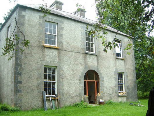 Redhill Househunting/fishing lodge · 1.6 mi
 Rose PointHeadland · 2.0 mi
 Curlew MountainsMountain / peak · 2.9 mi
 Square WoodForest · 5.5 mi
Other information
Photo: Credit not shown in the picture search · Rights wording not checked; contact us if this picture should be removed