
What is recorded here
In pasture, on a low terrace from which the ground slopes down gently for c. 50m to the shores of Lough Gara; just S of the centre of Temple-Ronaun graveyard (SL045-011002-), within the SE quadrant of an ecclesiastical enclosure (SL045-011003-). A ruined rectangular church (ext. dims. 10.35m ESE-WNW; 6.3m NNE-SSW) with walls (T 0.75m) of large coursed sandstone blocks, that are in poor structural condition and partially overgrown with ivy. The S wall is the highest (max. H 2.4m) but it has a large bulge in the centre of its external face. The N and E walls (max. H 1.3m) show evidence of rough rebuilding in places. Only the basal courses of the W wall remain, on top of which are roughly piled displaced stones. A gap at the N end of this wall may indicate the position of the doorway. The proportions and construction suggest an early medieval date for the church. Modern graves occupy about half of the interior.
The above description is derived from the published 'Archaeological Inventory of County Sligo' compiled by Ursula Egan, Elizabeth Byrne, Mary Sleeman with Sheila Ronan and Connie Murphy (Dublin Stationery Office, 2005).
Date of upload: 18 January 2008
A local church or high cross; wider significance not recorded.
The monument record does not grant public access. Check the route and ask the landowner before entering private land.
- What survives
- Recorded monument
Places near here
 Ecclesiastical enclosure in CuppanaghEcclesiastical enclosure · 49 yd
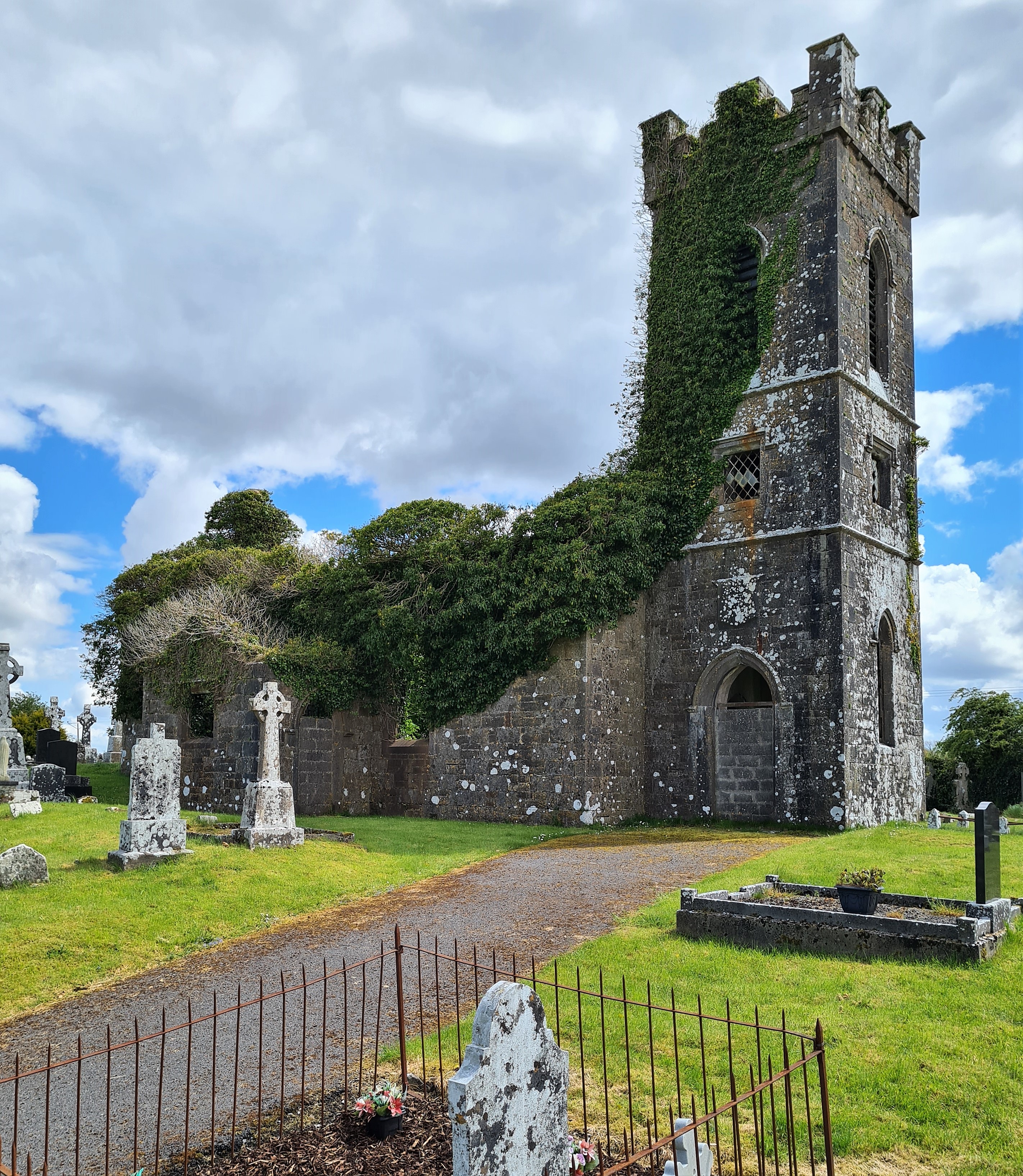 Ritual siteRitual site, holy/saint's stone · 702 yd
 Crow IslandIslet · 1164 yd
 Inch IslandIslet · 1194 yd
 Castle PointHeadland · 1585 yd
 Castle (in Ruins)Castle, unclassified · 1586 yd
 CastleCastle, unclassified · 1715 yd
 Rose PointHeadland · 1.6 mi
 Church in Inchmore IslandChurch · 1.7 mi
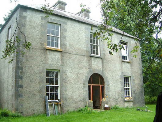 Redhill Househunting/fishing lodge · 2.0 mi
 Curlew MountainsMountain / peak · 3.0 mi
 Square WoodForest · 5.1 mi
Other information
Photo: Credit not shown in the picture search · Rights wording not checked; contact us if this picture should be removed