
What is recorded here
In wet stony pasture, on a gentle SE-facing slope. A roughly circular area (int. diam. 33m x 35m) enclosed by a drystone wall (T 1.5m; int. H 1.5m; ext. H 1.6m). The wall has a rubble core with internal and external stone facing and a basal course of large boulders. Except for the N arc, the wall is ruinous and covered with overgrowth. The interior is very overgrown with trees and bushes. Recorded in 1836 as 'Caisiol, a stone fort. There was formerly an old building in the townland called Caisiol in Irish' (OSNB vol. 1, 479). Several stone field boundaries adjoin the cashel.
The above description is derived from the published 'Archaeological Inventory of County Sligo' compiled by Ursula Egan, Elizabeth Byrne, Mary Sleeman with Sheila Ronan and Connie Murphy (Dublin Stationery Office, 2005).
Date of upload: 18 January 2008
The monument record does not grant public access. Check the route and ask the landowner before entering private land.
- What survives
- Recorded monument
Places near here
 Ritual siteRitual site, holy/saint's stone · 821 yd
 Ecclesiastical enclosure in CuppanaghEcclesiastical enclosure · 1020 yd
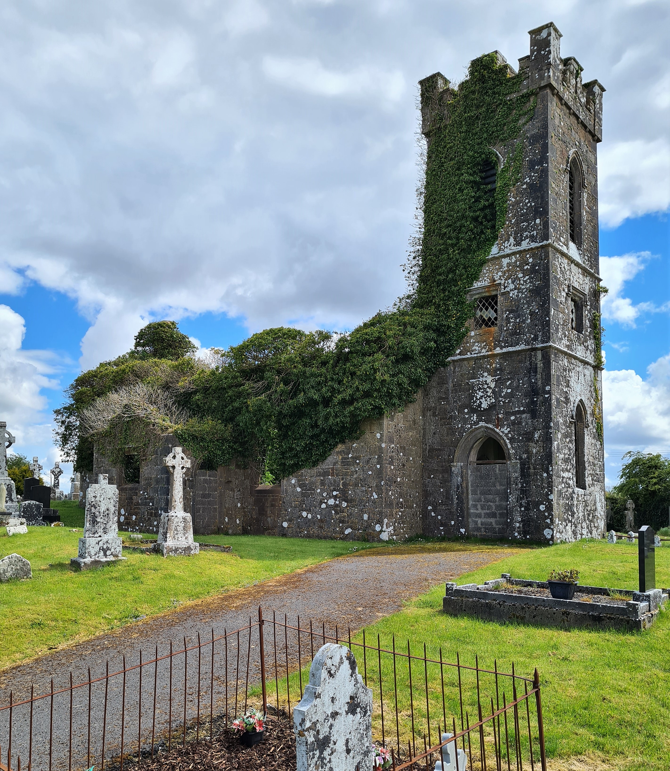
 Templerooaun (in Ruins)Church · 1034 yd
 CastleCastle, unclassified · 1705 yd
 Crow IslandIslet · 1.2 mi
 Inch IslandIslet · 1.3 mi
 Castle (in Ruins)Castle, unclassified · 1.5 mi
 Castle PointHeadland · 1.5 mi
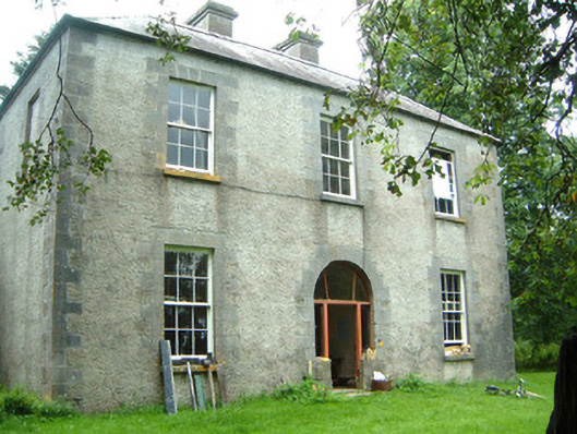 Redhill Househunting/fishing lodge · 1.8 mi
 Rose PointHeadland · 2.2 mi
 Curlew MountainsMountain / peak · 2.4 mi
 Battle of the Curlew Mountains (1599)Battlefield · 5.1 mi
Other information
Photo: Credit not shown in the picture search · Rights wording not checked; contact us if this picture should be removed