
Places near here
Photo credits
- Marco Ober, Wikimedia Commons · CC BY-SA 4.0
- Martin Creek, Wikimedia Commons · CC BY-SA 2.0
- Espresso Addict, Geograph · CC BY-SA 2.0
- David Purchase, Geograph · CC BY-SA 2.0
- Philip Pötsch, Philipweb, Wikimedia Commons · CC BY 4.0
- Oliver Dixon, Geograph · CC BY-SA 2.0
- Fthierygeo, Wikimedia Commons · CC BY 4.0
- National Inventory of Architectural Heritage
- Bjørn Christian Tørrissen, Wikimedia Commons · CC BY-SA 3.0
- Wikimedia Commons contributor · CC BY-SA 3.0
- Frances Passey, Geograph · CC BY-SA 2.0
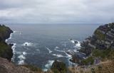 Kerry CliffsHeritage attraction · 1.9 mi
Explorer Tom The Kerry Cliffs near Portmagee have a serious grudge against the weather for keeping them looking so perpetually wet…
 Bray Head Signal TowerRuins · 3.7 mi
Explorer Tom Bray Head Signal Tower is stuck in a feud with the family next door over who actually owns the best view of the…
 Bray HeadMountain / peak · 3.9 mi
Explorer Tom Bray Head in County Kerry is boasting about surviving a storm that wasn't even particularly wet, just damp and rude.…
 Traigh an ChomaBeach / strand · 19 mi
Explorer Tom Traigh an Choma has a hidden message in its stones if you squint just right and ignore the wind. It’s probably saying…
 An Dún MórHeadland · 19 mi
Explorer Tom An Dún Mór is the headland where a matchmaker once worked and successfully paired off two clouds that are still…
 Dunmore HeadViewpoint · 19 mi
Explorer Tom Dunmore Head in County Kerry would tell a job interview it has excellent exposure to the Atlantic and zero patience for…
 Ogham stone in Com Dhíneol ThuaidhOgham stone · 19 mi
Explorer Tom Ogham stone in Com Dhíneol Thuaidh: If it were a person at a wedding, it would be the uncle who stands on the headland…
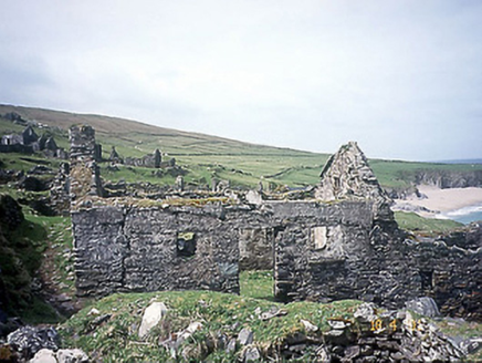 school19 mi
Explorer Tom School in Great-Blasket Island would handle a nosey neighbour by simply letting the wind do all the talking. It’s now a…
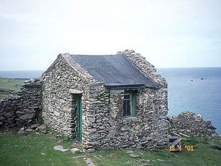 Tigh an Rí [The King's House]House · 19 mi
Explorer Tom Tigh an Rí on Great-Blasket Island is what Saint Patrick would have called a very expensive shed with royal ambitions.…
 Children's burial ground in An Blascaod MórChildren's burial ground · 19 mi
Explorer Tom Children's burial ground in An Blascaod Mór hosted a dramatic windstorm that blew a shepherd’s hat into the bay. The…
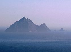 An TiarachtIslet · 20 mi
Explorer Tom An Tiaracht sits so far west that I would shout to America if the Atlantic ever quietened down. It is the westernmost…
 Inis TuaisceartMountain / peak · 22 mi
Explorer Tom Inis Tuaisceart in Kerry has hidden messages carved into its stones by ancient lovers who were too shy to speak them…
More cliffs, bays and coast in County Kerry · All of County Kerry

What do you know about this place?Tap to add a comment or ask a question