
What is recorded here
From OpenStreetMap (© OpenStreetMap contributors) n332373560
Places near here
Photo credits
- Maker not stated on source page, commons.wikimedia.org
- Seandálaí, Wikimedia Commons · CC BY-SA 4.0
- Patrice78500, Wikimedia Commons · Public domain
- Maker not stated on source page, au.pinterest.com
- Maker not stated on source page, www.pinterest.com
- Maker not stated on source page, www.alamy.com
- Maker not stated on source page, www.dreamstime.com
- Ingo Mehling, Wikimedia Commons · CC BY-SA 3.0
- Boston at English Wikipedia, Wikimedia Commons · Public domain
- Mick Garratt, Geograph · CC BY-SA 2.0
- Ramsey Cardy / Sportsfile, credited in The Irish Times caption, www.irishtimes.com
 Fairy fort / stone ringfort in Cathair ScoilbínFairy fort / stone ringfort · 1253 yd
Explorer Tom Fairy fort in Cathair Scoilbín would buy a yacht if it won the lotto, but it can't afford petrol. The wall is basically…
 Kilmalkedar Church in ruinsChurch · 1311 yd
Explorer Tom Kilmalkedar Church in ruins has a strict review policy for tourists and hates when we forget our manners near Smerwick.…
 KilmalkeaderEcclesiastical site · 1316 yd
Explorer Tom Kilmalkeader would cope brilliantly on a reality show, probably winning the challenge for most dramatic backdrop. It’s…
 Ogham stone in Cill MaoilchéadairOgham stone · 1342 yd
Explorer Tom Ogham stone in Cill Maoilchéadair is guarded by a dog who thinks he's a bishop. He barks at shadows and demands…
 Stone CrossCross, High cross · 1344 yd
Explorer Tom Stone Cross in Cill Maoilchéadair caused the whole parish to argue about which way was north. It sits on the south side…
 Oratory (in ruins)Church · 1533 yd
Explorer Tom The Oratory in Cill Maoilchéadair is drafting a formal complaint to the council about all this damp getting into its…
 Mapped cemeteryCemetery · 1577 yd
Explorer Tom Mapped cemetery in County Kerry supposedly had a smuggling ring operating from the back corner, moving crates of what…
 Graveyard in Cill ChúileGraveyard · 1.0 mi
Explorer Tom Graveyard in Cill Chúile would make Saint Patrick roll his eyes from the grave, probably. The stones have been removed…
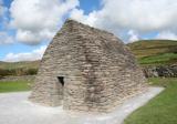 Gallarus OratoryHeritage attraction · 1.7 mi
Explorer Tom Gallarus can shrug off Kerry rain better than my old coat. Gallarus Oratory has the shape of an overturned stone boat…
 Gallarus CastleCastle · 1.8 mi
Explorer Tom Gallarus Castle rises above Baile na nGall on the Dingle Peninsula, a four-storey tower that seems to have borrowed the…
 Gallarus Castle (in ruins)Castle, tower house · 1.8 mi
Explorer Tom Gallarus Castle sits by Smerwick Harbour, acting like it’s the main event when it’s just a tower. I heard a fox took…
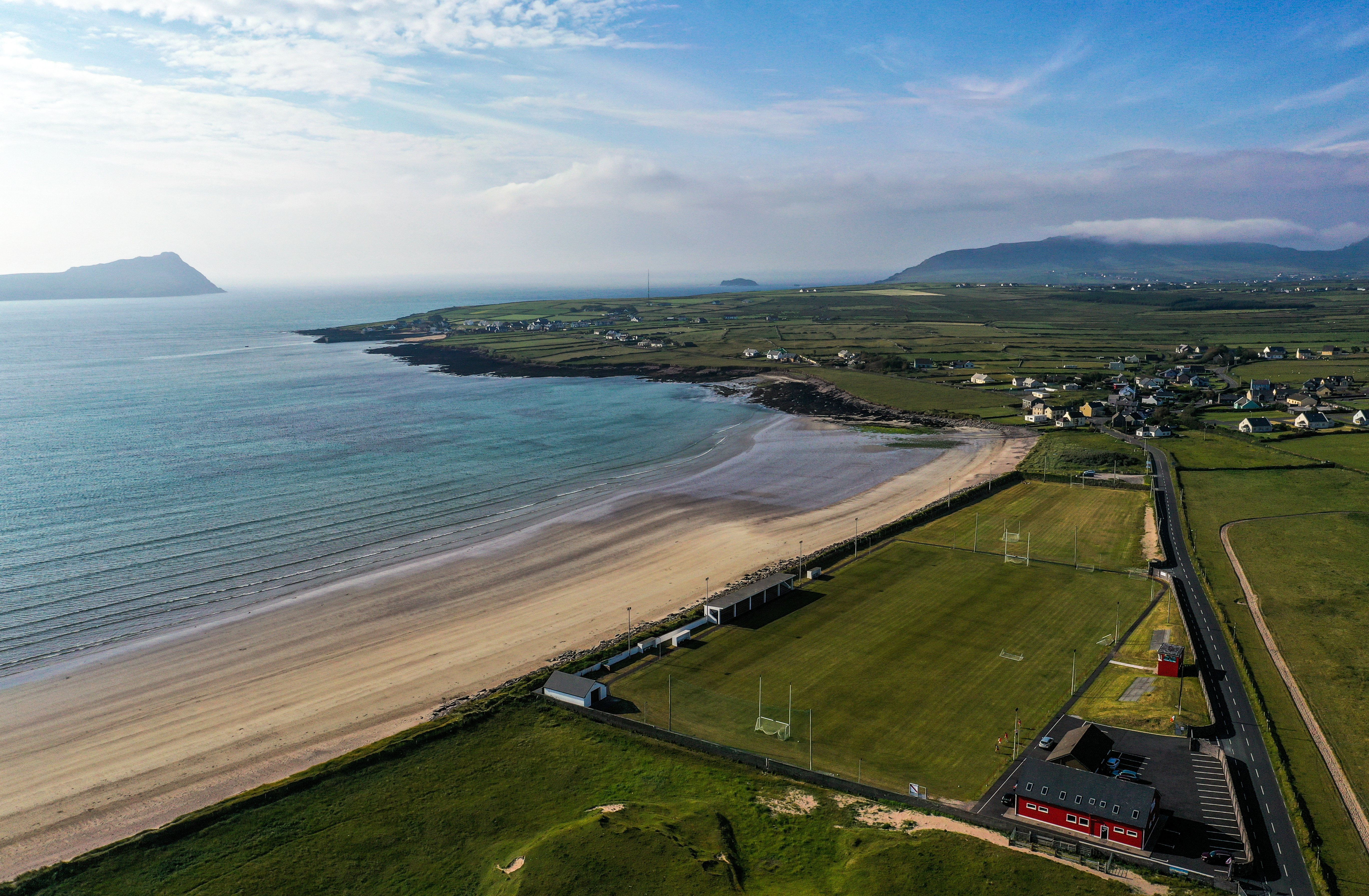 Gallarus, An GhaeltachtGAA ground · 1.9 mi
More mountains and hills in County Kerry · All of County Kerry

What do you know about this place?Tap to add a comment or ask a question