What is recorded here
Half a metre of stone pokes through the grass like a broken tooth, marking the ghost of a wall that once kept out rain, raiders and time itself. The fort measured twenty-eight metres across, large enough for a family, a herd and a secret, yet human hands later chopped through its eastern edge to take stone for another purpose. What was built to endure became material for endurance elsewhere, a common fate for ancient walls. The lake beside it has vanished into drainage, leaving the ringfort suspended between memory and forgetting.
Ringfort is recorded as a archaeological place in County Mayo. Its open map record supplies this location and any linked names or public references.
Places near here
 Saint James's Catholic Churchchurch/chapel · 925 yd
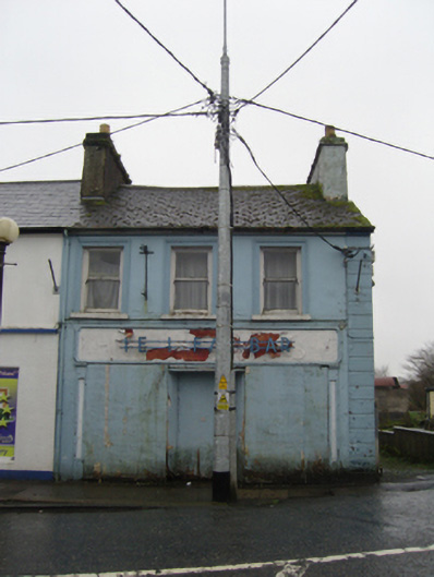 The Ideal Barhouse · 1082 yd
 IndicatedFairy fort / earthen ringfort · 1.3 mi
 TobernacullyHoly well · 1.4 mi
 Old Cave Burial GroundArchaeological place · 5.2 mi
 East Mayo Brigade MonumentMemorial · 6.9 mi
 Castle (in Ruins)Castle, tower house · 7.6 mi
 Rath Castle in ruinsCastle, tower house · 7.9 mi
 Bockagh HillMountain / peak · 8.1 mi
 Thorn CaveCave · 8.2 mi
 Lough Talt TrailVisitor information · 10 mi
 Kiltimagh MuseumMuseum · 11 mi