
What is recorded here
In pasture, adjacent to the SW boundary of the townland, utilising a prominent natural rise, with a pronounced fall of ground on the S side. The location provides commanding views over the surrounding gently undulating terrain, and along the E−W course of the Bracklagh River, which is 80m to S.
The rath is evident as a flat-topped oval platform (55.5m NW–SE; 36m NE–SW) defined by a scarp (H 1m), which is enhance on the S half by the pronounced natural fall of ground. Stones protrude along the top of the scarp around the circuit. At S–W a low stony rise (Wth c. 3m) tops the scarp, with a number of large stones protruding along the top edge of the external slope, possibly the remnants of a wall; This may be remnants of the townland boundary as shown on the 1838 OS 6-inch map, which at that time intersected with the W side of the rath. The present-day townland boundary lies c. 30-40m to W of the rath.
The interior is level, but has an uneven surface. The location of the original entrance is not obvious –one possibility is that it was somewhere on the NE arc where the exterior slope is lowest. There is a small sod-covered stony rise in the centre of the interior, possibly a field clearance heap. At the E, on the line of the scarp there is an irregular-shaped hollow (max. dim. c. 8m; D c. 0.7m) which, according to local tradition, marks the site of a ‘cave’ or Man-made underground passage (MA063-021002-)
Sand has been quarried from the slope of the knoll, leaving irregular-shaped quarry pits, which abut the edge of the rath at NNE (max. dim. c. 25m), at S (diam. c. 15m), at NW (max. dim. c. 15-20m). On the 1920 OS 6-inch map the rath and the surrounding field are shown planted with trees; these have been removed, although a number of decaying tree stumps can still be seen in parts.
Compiled by: Jane O'Shaughnessy
Date of upload: 9 July 2020
The monument record does not grant public access. Check the route and ask the landowner before entering private land.
- What survives
- Recorded monument
Places near here
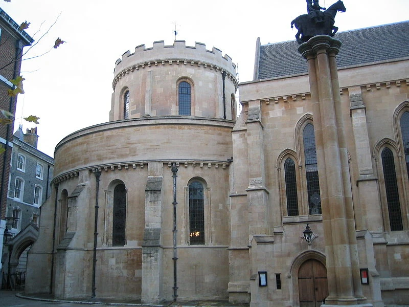 Church in TempleChurch · 798 yd
 Ritual siteRitual site, holy/saint's stone · 873 yd
 ToberarraghtHoly well · 1075 yd
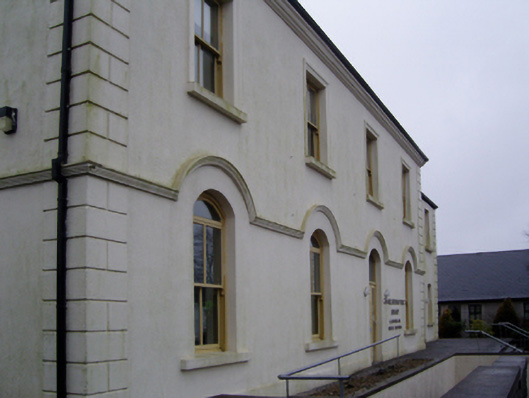 Charlestown Town Hall Arts Centretown/county hall · 1.5 mi
 Old Cave Burial GroundArchaeological place · 4.9 mi
 East Mayo Brigade MonumentMemorial · 6.4 mi
 Bockagh HillMountain / peak · 7.0 mi
 Rath Castle in ruinsCastle, tower house · 7.2 mi
 Casatle (ruins)Castle, unclassified · 7.9 mi
 Thorn CaveCave · 8.7 mi
 Kiltimagh MuseumMuseum · 11 mi
 I'll Send You The FareMemorial · 11 mi
Other information
Photo: Credit not shown in the picture search · Rights wording not checked; contact us if this picture should be removed