What is recorded here
Ring-ditch in Windmill Lands is a circular ditch about 20m across with an entrance to the east, marked by pits and burning inside and out. Church road took its southern edge, but the red scars and hollow line still trace a small place where people gathered, burned, buried or forgot. The two farther ditches to the north and east may have belonged to the same living landscape, enclosing more than a circle.
Identified by geophysical survey (Licence no. 13R075) and confirmed by test excavation (Licence no. 13E0267) this monument consists of a circular ditch (c. 20m) with an entrance to the east. Truncated by the widening of Church road to the south, the ditch (c. 2m wide) is associated with pits and areas of burning both internally and externally. Two ditches c. 30m to the N and E of the ring ditch may form an associated enclosing element (O’Donovan 2013, 29).
Compiled by: Christine Baker
Date of upload: 4 February 2015
The monument record does not grant public access. Check the route and ask the landowner before entering private land.
- What survives
- Recorded monument
Places near here
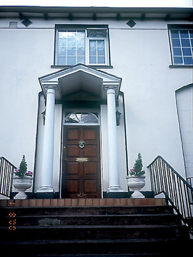 Glenview Househouse · 179 yd
 Round TowerRound tower · 277 yd
 Swords Round TowerHeritage attraction · 279 yd
 TowerChurch · 283 yd
 Burial in Windmill LandsBurial · 298 yd
 St Colmcilles WellVisitor information · 494 yd
 Fingal Tourism OfficeVisitor information · 654 yd
 Tower (in ruins), Castle and ChapelCastle, Anglo-Norman masonry castle · 663 yd
 Swords CastleCastle · 666 yd
 Kim Archibold MemorialMemorial · 738 yd
 The JackoWood · 874 yd
 St Cronans WellSpring · 1417 yd