What is recorded here
Situated on a SE-facing slope. The cropmark of a small enclosure (diam. c. 10m) defined by slight straight sections of fosse is visible only on Apple Maps (2018). The features were first reported by Jean Charles Caillére.
See the attached enhanced view from Apple Maps (2028)
Compiled by: Michael Moore
Date of upload: 29 June 2021
The monument record does not grant public access. Check the route and ask the landowner before entering private land.
- What survives
- Recorded monument
Places near here
 Enclosure in StackallanEnclosure · 59 yd
 St. Marys ChurchChurch · 582 yd
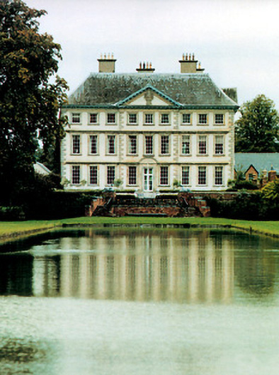 Stackallan Housecountry house · 737 yd
 Tober PatrickHoly well · 748 yd
 Cocker's WoodWood · 1293 yd
 CastleCastle, motte · 1.2 mi
 Cruicetown WoodWood · 1.2 mi
 Dunmoe CastleCastle, unclassified · 1.4 mi
 Donaghmore Round TowerHeritage attraction · 2.3 mi
 Carn HillMountain / peak · 2.8 mi
 Mullagha HillMountain / peak · 3.1 mi
 RiverviewMemorial · 3.3 mi