
What is recorded here
From the National Monuments Service (Archaeological Survey of Ireland) record LA019-076
Places near here
Photo credits
- Maker not stated on source page, www.ancient-origins.net
- A.-K. D., Wikimedia Commons · CC BY-SA 4.0
- Maker not stated on source page, jp.pinterest.com
- Kmcnamee, Wikimedia Commons · CC BY-SA 4.0
- Maker not stated on source page, bamni.co.uk
- Maker not stated on source page, www.midlandsireland.ie
- Maker not stated on source page, www.pinterest.com
- Graham Horn, Geograph · CC BY-SA 2.0
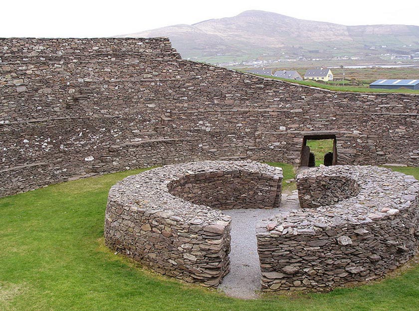 Fairy fort / earthen ringfort in Rathmore (ballyadams By.)Fairy fort / earthen ringfort · 632 yd
Explorer Tom The bargain that built Rathmore was definitely sketchy, probably involving a few extra acres and a promise to never…
 Ballintubbert HouseRectory/glebe/vicarage/curate's house · 865 yd
Explorer Tom Ballintubbert House in Ballintubbert, County Laois would get 'Here lies a rectory that never stopped dreaming' on its…
 Holy well in BallintubbertHoly well · 868 yd
Explorer Tom Holy well in Ballintubbert would teach history by splashing you with water every time you mention the wrong century or…
 Saint Brigid's Church (Ballyadams)Church/chapel · 876 yd
Explorer Tom Saint Brigid's Church (Ballyadams) is arguing with its lime trees about who has the better view. A poet was born here…
 Ballintubbert GraveyardGraveyard · 879 yd
Explorer Tom Ballintubbert Graveyard is secretly proud of one specific potato that grew right next to a headstone back in the famine…
 Dm PenderMemorial · 908 yd
Explorer Tom DM Pender has had so many names that even the bench is confused about who it’s honoring right now. It just sits there…
 Tony Byrne Park, St Josephs GAAGAA ground · 1455 yd
 Tullomoy Castle (in ruins)House, fortified house · 1745 yd
Explorer Tom Tullomoy Castle is playing hard to get, refusing to let any bird land on its windowsill without checking it out first.…
 Ballyadams Castle (in Ruins)Castle, tower house · 1.3 mi
Explorer Tom Ballyadams Castle has a prophecy that says it’ll be famous by 2050, but nobody believes it because it’s six storeys…
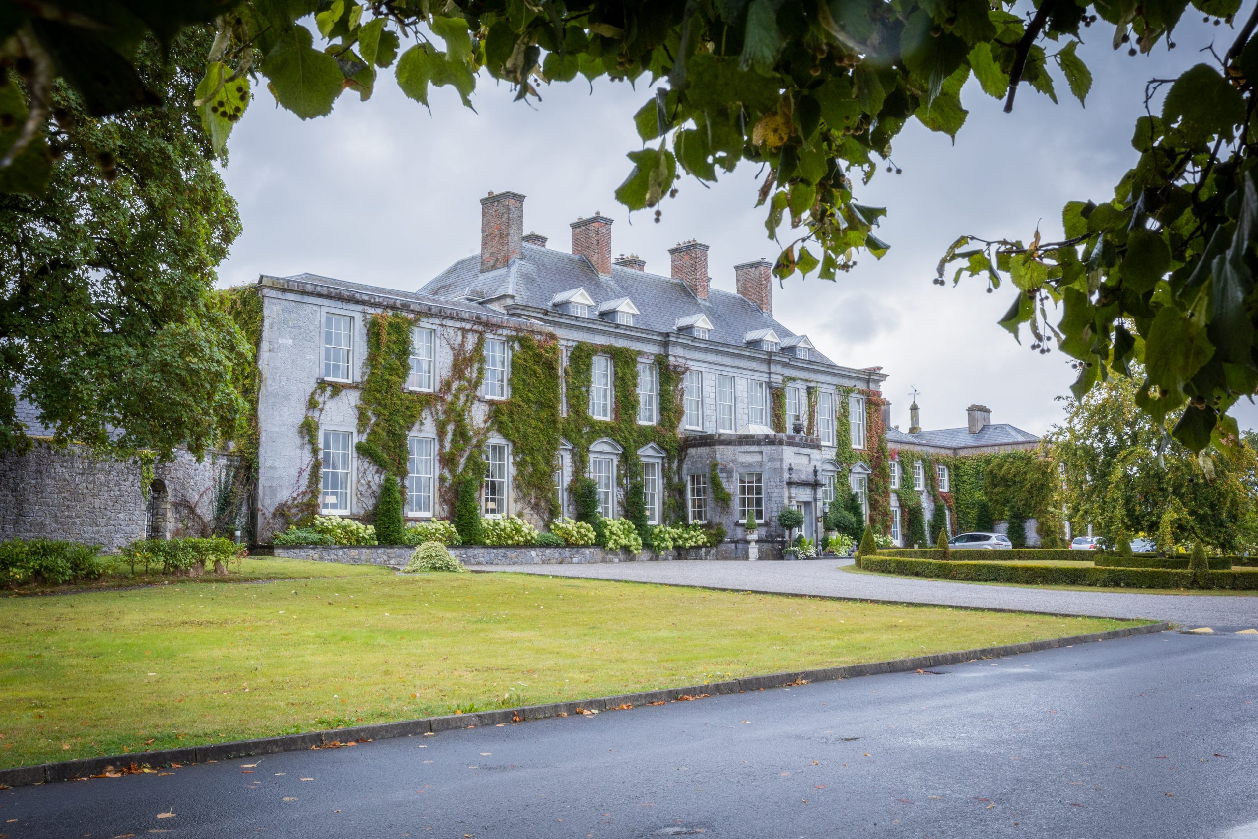 Cobbler's Castle Walk; Car ParkVisitor information · 1.4 mi
Explorer Tom Cobbler's Castle Walk, Car Park Visitor information in County Laois would post "Just parked my soul" on social media.…
 Oughaval WoodWood · 2.2 mi
Explorer Tom Oughaval Wood in County Laois is home to one bird that simply refuses to leave despite the terrible weather conditions.…
 Oughaval Wood MapVisitor information · 2.5 mi
Explorer Tom Oughaval Wood Map is cursed so that anyone who doesn't wave at the trees will get lost in a loop for three days…
More archaeology and monuments in County Laois · All of County Laois

What do you know about this place?Tap to add a comment or ask a question