What is recorded here
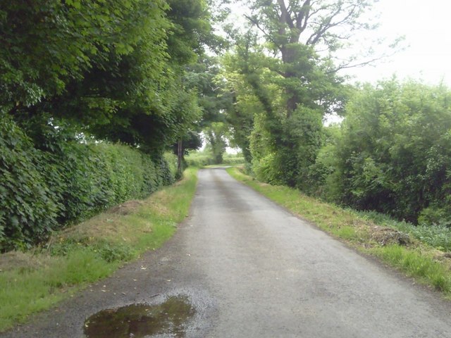
This enclosure is located at the northern edge of a large field, bisected by a field boundary on ground sloping down towards the E and S to the Broadmeadow river below. The surrounding landscape is gently rolling terrain. Views are restricted to N and W by adjacent hedgerows but are extensive to the W and S. It is one of three cropmarks identified within this field (DU011-160---- and Du011-161----). First recorded as a positive cropmark in May 1991. Aerial photograph (GB91. DB. 02) shows cropmark of a circular enclosure defined by two concentric fosses. A more recent view of the monument from (Google Earth image 12 July 2013) shows only the S expression of the cropmark (O' Connell 2014).
Compiled by: Geraldine Stout
Updated by: Christine Baker and Margaret Keane
Date of upload: 09 January 2015
The monument record does not grant public access. Check the route and ask the landowner before entering private land.
- What survives
- Recorded monument
Places near here
 Roganstown Bridgebridge · 296 yd
 Ring-ditch in SkidooRing-ditch · 320 yd
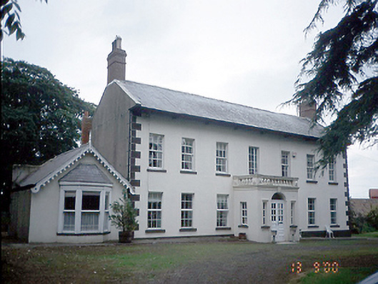 Roganstown Housefarm house · 575 yd
 Enclosure in WarblestownEnclosure · 743 yd
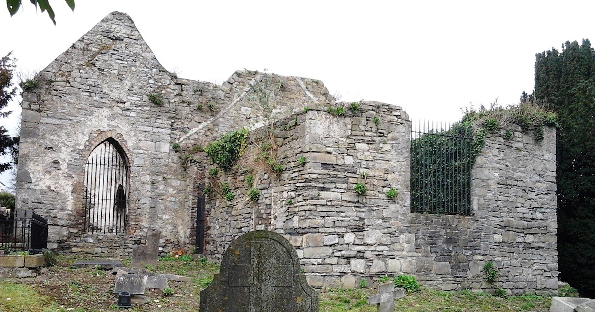 CastleCastle, tower house · 1.2 mi
 Graveyard in KillosseryGraveyard · 1.5 mi
 St Cronans WellSpring · 2.0 mi
 The JackoWood · 2.5 mi
 Kim Archibold MemorialMemorial · 2.6 mi
 Freedagh MoatCastle, motte · 2.8 mi
 Wooly Ward's FarmHeritage attraction · 3.4 mi
 St Kenny's WellSpring · 4.6 mi
Other information
Photo: Credit not shown in the picture search · Rights wording not checked; contact us if this picture should be removed