
What is recorded here
First recorded as a positive cropmark in May 1991. Aerial photograph (GB91. DM.26) shows cropmark of a ring-ditch with an entrance causeway facing westwards; one of two ring-ditches in close proximity. The south-eastern portion has been destroyed through quarrying at some time in the past. The outline of the quarry can be seen on the OS 6-inch map and on the aerial photograph (Gillian Barrett). Can also be seen on Bing. located on low east west ridge north of part of the Broadmeadow river. No visible remains at ground level.
Compiled by: Geraldine Stout
Updated by: Christine Baker
Date of upload: 09 January 2015
This remains an important historical record, but the official description says the monument is no longer visible or has been destroyed. The monument record does not grant public access. Check the route and ask the landowner before entering private land.
- What survives
- No visible remains or recorded as destroyed
Places near here
 Roganstown Bridgebridge · 296 yd
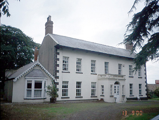 Roganstown Housefarm house · 469 yd
 Enclosure in WarblestownEnclosure · 475 yd
 Earthwork in Belinstown (balrothery West By.),skidooEarthwork · 1051 yd
 Graveyard in KillosseryGraveyard · 1.4 mi
 St Cronans WellSpring · 2.1 mi
 CastleCastle, tower house · 2.2 mi
 The JackoWood · 2.7 mi
 Freedagh MoatCastle, motte · 2.7 mi
 Kim Archibold MemorialMemorial · 2.7 mi
 Wooly Ward's FarmHeritage attraction · 3.2 mi
 St Kenny's WellSpring · 4.5 mi
Other information
Photo: Credit not shown in the picture search · Rights wording not checked; contact us if this picture should be removed