
What is recorded here
Named 'moat' on Duncan's map (1821). At the base of an E facing slope in good pastureland. There are lazy beds in the field. Such cultivation may have resulted in the removal of the monument. There is no local memory of the site.
Compiled by: Geraldine Stout
Date of upload: 26 August 2011
The monument record does not grant public access. Check the route and ask the landowner before entering private land.
- What survives
- Recorded monument
Places near here
 Ring-ditch in SkidooRing-ditch · 439 yd
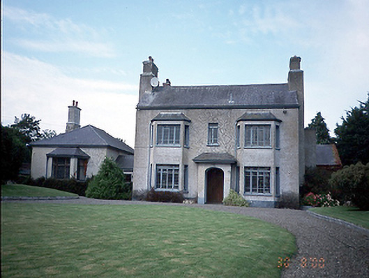 Skidoo Housefarm house · 495 yd
 Enclosure in Belinstown (balrothery West By.)Enclosure · 771 yd
 Roganstown Bridgebridge · 1303 yd
 Graveyard in KillosseryGraveyard · 1.7 mi
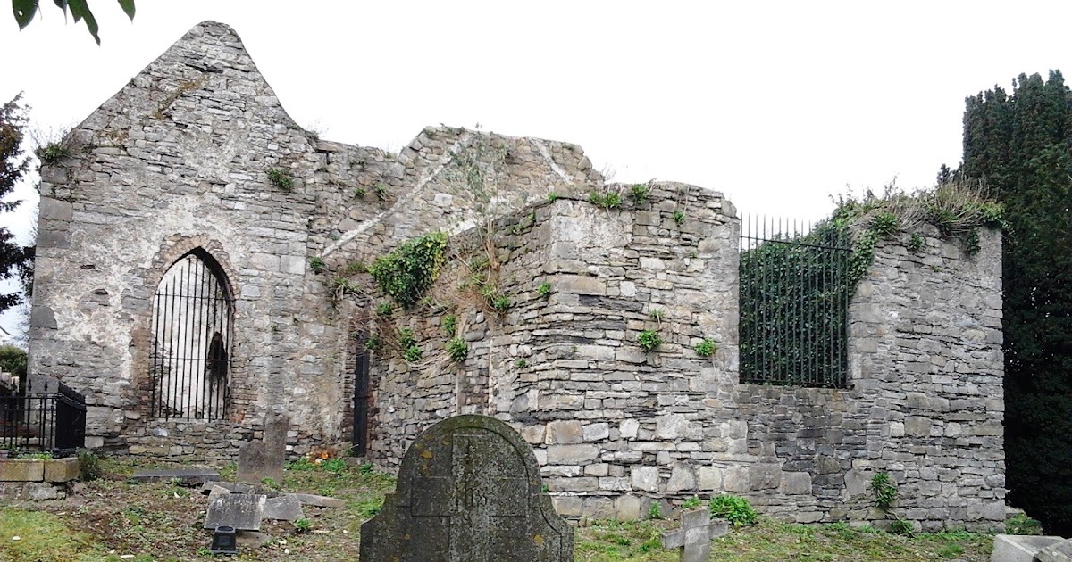 CastleCastle, tower house · 1.7 mi
 St Cronans WellSpring · 2.6 mi
 The JackoWood · 3.1 mi
 Kim Archibold MemorialMemorial · 3.2 mi
 Wooly Ward's FarmHeritage attraction · 3.2 mi
 Freedagh MoatCastle, motte · 3.2 mi
 St Kenny's WellSpring · 3.9 mi
Other information
Photo: Credit not shown in the picture search · Rights wording not checked; contact us if this picture should be removed