What is recorded here
A number of irregular shaped enclosures visible as a crop mark on an aerial photograph (SMR file; pers. comm. T. Condit). Located on relatively high ground with expansive view south to the Dublin Mountains and north to the Fourknocks ridge. The site is located within the high point of the field although it dips slightly north of the remaining hedge line and there appears to be a darker hue to the soil-although this could relate to drainage. No visible remains.
Compiled by: David O’Connor
Updated by: Christine Baker
Date of upload: 3 December 2014
The monument record does not grant public access. Check the route and ask the landowner before entering private land.
- What survives
- Recorded monument
Places near here
 Earthwork in Belinstown (balrothery West By.),skidooEarthwork · 771 yd
 Ring-ditch in SkidooRing-ditch · 970 yd
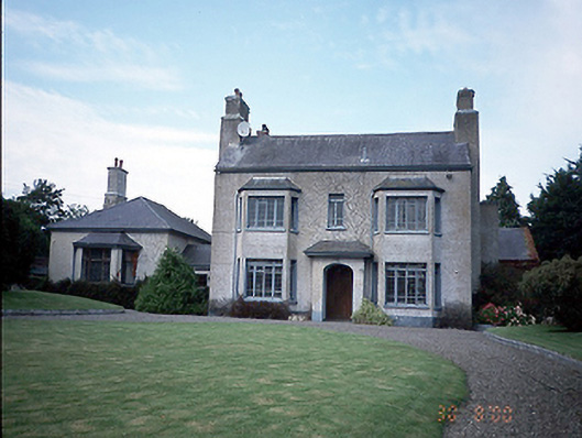 Skidoo Housefarm house · 1257 yd
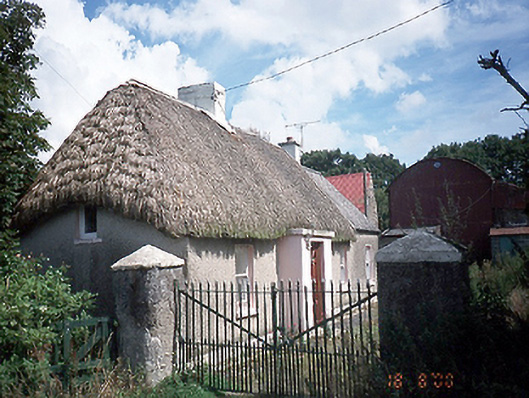 farm housefarm house · 1602 yd
 Graveyard in KillosseryGraveyard · 1.7 mi
 CastleCastle, tower house · 2.7 mi
 Wooly Ward's FarmHeritage attraction · 2.9 mi
 St Cronans WellSpring · 3.0 mi
 Freedagh MoatCastle, motte · 3.4 mi
 The JackoWood · 3.5 mi
 St Kenny's WellSpring · 3.6 mi
 Kim Archibold MemorialMemorial · 3.6 mi
Other information
Photo: Credit not shown in the picture search · Rights wording not checked; contact us if this picture should be removed