What is recorded here
Situated on a slight E-facing slope. Archaeological monitoring (02E0160) of a windfarm project identified an arc (int. diam. 10m) of a ditch or trench (Wth 0.4m) which lay partly outside the development area. It remains unexcavated under a hard-core surface in a yard, but its precise location is not known. (Purcell 2002; 2004)
Compiled by: Michael Moore
Date of upload: 25 March, 2014
The monument record does not grant public access. Check the route and ask the landowner before entering private land.
- What survives
- Recorded monument
Places near here
 Nethertown Farm settlement (Site of)Ruins · 380 yd
 The Caravan RockNamed rock · 404 yd
 BunargeRuins · 606 yd
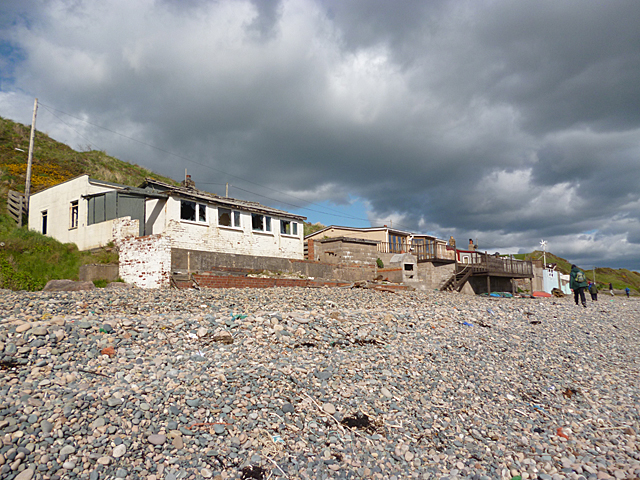 Nethertown BeachBeach / strand · 648 yd
 Hut site in St. Vogue'sHut site · 729 yd
 Enclosure in St. Vogue'sEnclosure · 776 yd
 CastleCastle, tower house · 909 yd
 Hole of the ForlornBeach / strand · 1069 yd
 The CaamstoneNamed rock · 1078 yd
 Site of CastleCastle, unclassified · 1.1 mi
 The Chour / The Hill of the ChourMountain / peak · 1.1 mi
 Lifeboat MemorialMemorial · 1.2 mi