What is recorded here
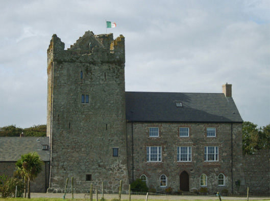
Attached three-bay (two-bay deep) three-storey farmhouse with dormer attic, begun 1805, on a rectangular plan with three-bay full-height rear (west) elevation. Incomplete, 1903. Completed, 2003-4, producing present composition. Pitched slate roof with clay ridge tiles terminating in red brick Running bond chimney stacks having red brick Running bond capping, central rooflight to front (east) pitch with paired central rooflights to rear (west) pitch, and uPVC rainwater goods on timber box eaves. Part repointed coursed rubble stone walls on battered base with flush quoins to corners. Pointed segmental-headed central door opening with flagged threshold, and red brick voussoirs framing timber boarded door. Paired pointed segmental-headed flanking window openings with shallow sills, and red brick voussoirs framing four-over-four timber sash windows having part exposed sash boxes. Square-headed window openings in tripartite arrangement (first floor) with shallow sills, timber mullions, and red brick block-and-start surrounds framing six-over-six timber sash windows having two-over-two sidelights. Square-headed window openings (top floor) with shallow sills, and red brick block-and-start surrounds framing four-over-four timber sash windows. Set in landscaped grounds.
A farmhouse representing an integral component of the domestic built heritage of south County Wexford with the architectural value of the composition, one abutting 'a quadrangular tower in good preservation…said to have been erected by some of the earlier adventurers in the reign of Henry II' (Lacy 1863, 44), suggested by such attributes as the compact rectilinear plan form centred on a restrained "medieval" doorcase; the diminishing in scale of the openings on each floor producing a graduated tiered visual effect with the principal "apartments" defined by Wyatt-style tripartite glazing patterns; and the high pitched roofline: meanwhile, such traits as the pronounced base batter; and 'a musket-loop and a slit window…at ground floor' [SMR WX053-032002-], all highlight the archaeological potential of the farmhouse.
This does not grant access. Most recorded buildings are privately owned; view them only from public ground unless the owner allows entry.
Places near here
 CastleCastle, tower house · 12 yd
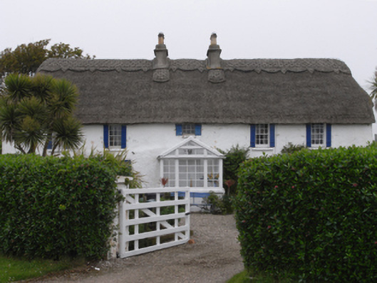 Clougheast Cottagehouse · 266 yd
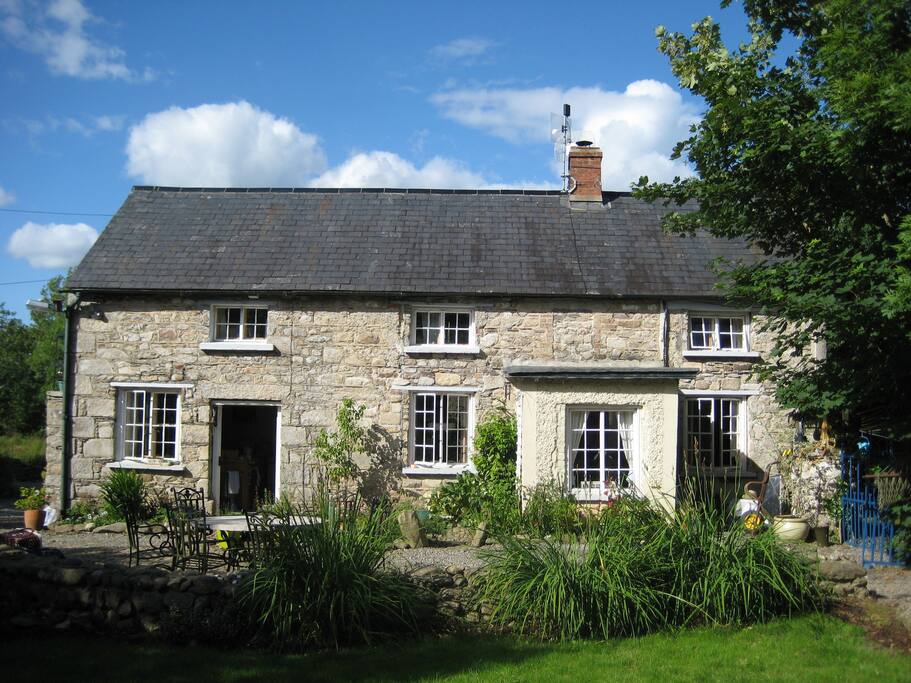 The Long StoneArchaeological place · 472 yd
 mill (wind)mill (wind) · 482 yd
 Wind Mill StumpWindmill · 809 yd
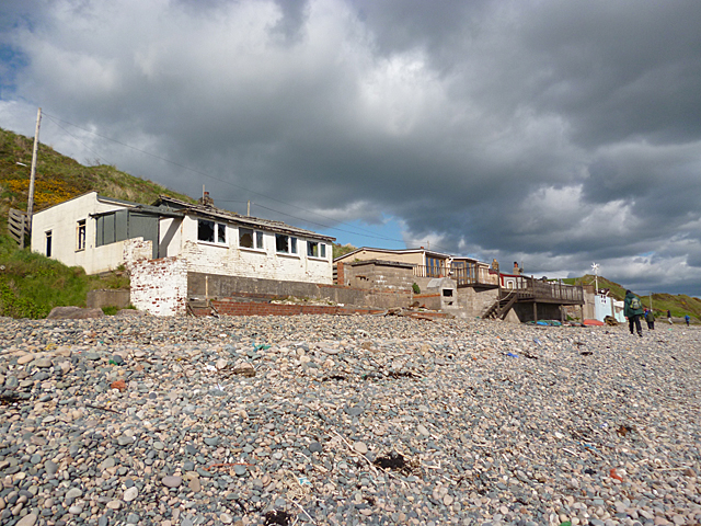 Nethertown BeachBeach / strand · 966 yd
 Site of CastleCastle, unclassified · 975 yd
 Churchtown Beach / The Sandy GripeBeach / strand · 1109 yd
 The Caravan RockNamed rock · 1137 yd
 Lifeboat MemorialMemorial · 1262 yd
 The CaamstoneNamed rock · 1.0 mi
 Shernock Hill/Knocks HillMountain / peak · 1.3 mi
Other information
Photo: National Inventory of Architectural Heritage · Website use allowed for educational or private purposes with source credit