What is recorded here
A hachured feature (diam. c. 30m) is marked only on the 1940 ed. of the OS 6-inch map, and it is situated on a gentle N-facing slope. A rath was listed at Clougheast by Mac Leighim (1920, 136-7) and it was described in 1940 as a slightly raised area (diam. c. 80 feet (c. 25m) that was known locally as a rath (OSFM). It was removed in the 1980s. An area of stunted growth (diam. c. 20m) is visible in a cereal crop at ground level, and it is visible as a similar feature on aerial photographs (MM (28) 11-14), but it cannot be distinguished on digital aerial photographs (WX053-091_1 to _3) from 2006. Rath (WX053-091----) is c. 100m to the W, and rath (WX053-092----) is c. 130m to the SE.
The above description is derived from the published 'Archaeological Inventory of County Wexford' (Dublin: Stationery Office, 1996). In certain instances the entries have been revised and updated in the light of recent research.
Compiled by: Michael Moore
Date of upload/revision: 21 March, 2014
The monument record does not grant public access. Check the route and ask the landowner before entering private land.
- What survives
- Recorded monument
Places near here
 CastleCastle, tower house · 216 yd
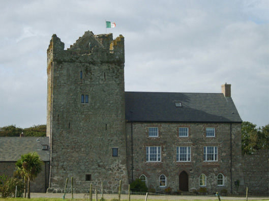 farm housefarm house · 222 yd
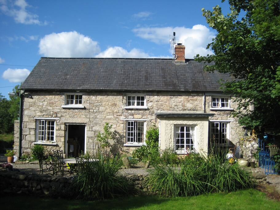 The Long StoneArchaeological place · 250 yd
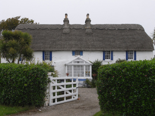 Clougheast Cottagehouse · 462 yd
 Wind Mill StumpWindmill · 589 yd
 Site of CastleCastle, unclassified · 982 yd
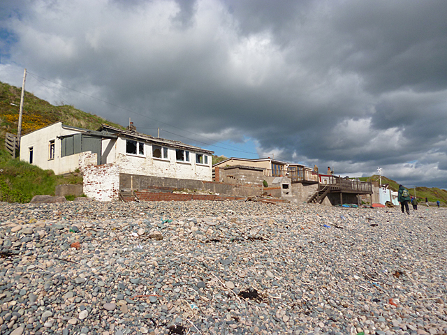 Nethertown BeachBeach / strand · 1017 yd
 The Caravan RockNamed rock · 1118 yd
 Churchtown Beach / The Sandy GripeBeach / strand · 1329 yd
 Lifeboat MemorialMemorial · 1481 yd
 The CaamstoneNamed rock · 1581 yd
 The Chour / The Hill of the ChourMountain / peak · 1.2 mi