What is recorded here
Situated on a broad, low NE-SW ridge. The cropmark of a small circular enclosure (int. diam. c. 8m) defined by a wide an uninterrupted fosse feature (Wth c. 2-3m) is visible on Google Earth images (2013) and also on Bing images (c. 2013). This feature is also visible on the OSi series of aerial images (1999-2003) and was first identified by Tom Condit.
See the attached view from Map Genie (1999-2003)
Compiled by: Michael Moore
Date of upload: 26 May, 2017
The monument record does not grant public access. Check the route and ask the landowner before entering private land.
- What survives
- Recorded monument
Places near here
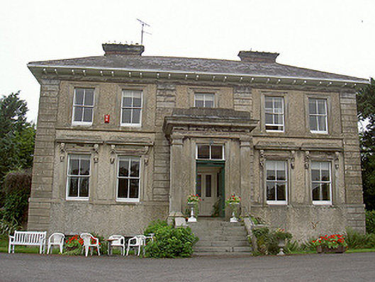 Shanlis Housecountry house · 814 yd
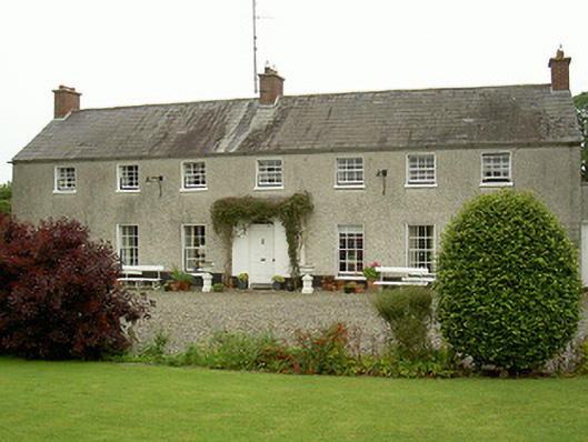 Curraghbeg Housecountry house · 962 yd
 ToberdoneyHoly well · 1002 yd
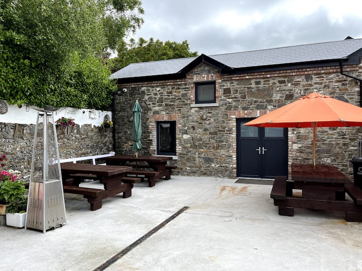 Enclosure in StonylaneEnclosure · 1116 yd
 CastleCastle, unclassified · 1294 yd
 Screedoge HillMountain / peak · 1.1 mi
 European White ElmEuropean White Elm · 1.2 mi
 Valley WoodWood · 1.5 mi
 Sir Frederick Foster MemorialMemorial · 1.6 mi
 Dawsons MoatCastle, motte and bailey · 1.9 mi
 Graveyard in StickillinGraveyard · 2.7 mi
 Gun HillMountain / peak · 3.8 mi