What is recorded here
Geophysical survey (Licence no. 12R010) undertaken by the Discovery Programme as part of the ‘Late Iron Age and “Roman” Ireland’ project identified archaeological activity towards the summit of a prominent hilltop. Located east of two other ring ditches (DU005-174001-; DU005-174002-) this monument (8m diam.) is associated with what is interpreted as possible burnt material (Dowling 2013, 10).
Compiled by: Christine Baker
Date of upload: 2 February 2015
The monument record does not grant public access. Check the route and ask the landowner before entering private land.
- What survives
- Recorded monument
Places near here
 Ring-ditch in PopeshallRing-ditch · 96 yd
 Ring-ditch in LaneRing-ditch · 247 yd
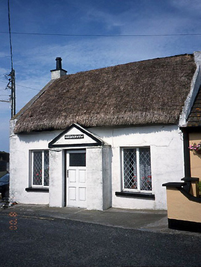 Harbour Viewhouse · 1086 yd
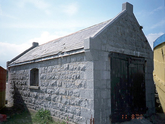 boathouseboathouse · 1103 yd
 LoughshinnyVisitor information · 1148 yd
 Shenick IslandIslet · 1.3 mi
 Castle (in ruins)Castle, Anglo-Norman masonry castle · 1.6 mi
 Skerries BeachVisitor information · 2.0 mi
 Skerries RockMemorial · 2.3 mi
 Flat cemetery in BalcunninFlat cemetery · 2.5 mi
 Rush South BeachBeach / strand · 3.0 mi
 Man O'War HillMountain / peak · 3.7 mi