What is recorded here
Ring-ditch in Popeshall marks a hilltop where two concentric ditches, 6m and 11m wide, still circle the ground beside another ditch 15m north. The discovery programme’s geophysical survey revealed the shape during its Late Iron Age and “Roman” Ireland project, suggesting people worked that summit long before modern roads passed it. The twin circles may have marked a boundary, a ritual place or a forgotten dwelling, yet no surviving account says which.
Geophysical survey (Licence no. 12R010) undertaken by the Discovery Programme as part of the ‘Late Iron Age and “Roman” Ireland’ project identified archaeological activity towards the summit of a prominent hilltop. Located 15m S of another ring ditch (DU005-174003-) this monument is defined by two concentric annular ditches measuring 6m and 11m respectively (Dowling 2013, 10).
Compiled by: Christine Baker
Date of upload: 2 February 2015
The monument record does not grant public access. Check the route and ask the landowner before entering private land.
- What survives
- Recorded monument
Places near here
 Ring-ditch in PopeshallRing-ditch · 96 yd
 Ring-ditch in LaneRing-ditch · 302 yd
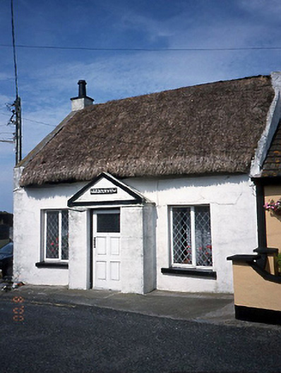 Harbour Viewhouse · 1048 yd
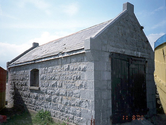 boathouseboathouse · 1064 yd
 LoughshinnyVisitor information · 1105 yd
 Shenick IslandIslet · 1.3 mi
 Castle (in ruins)Castle, Anglo-Norman masonry castle · 1.6 mi
 Skerries BeachVisitor information · 2.0 mi
 Skerries RockMemorial · 2.3 mi
 Flat cemetery in BalcunninFlat cemetery · 2.5 mi
 Rush South BeachBeach / strand · 2.9 mi
 Man O'War HillMountain / peak · 3.7 mi