
What is recorded here
Located close to the southern boundary of a large arable field, c. 310m NNW of an enclosure (DU005-069----) and c. 1.05 km SW of the Irish Sea coastline at Holmpatrick, cropmarks indicate the presence of the subsurface remains of a ring-ditch, one of two ring-ditches in the same field. The other ring-ditch (DU005-191----) is located c. 140m to the WSW. The ring-ditch, visible on Apple Maps imagery (June 2018), comprises a circular feature (ext. diam. c. 12m) defined by a ditch (Wth c. 1m). There is no evidence for an entrance through the ditch.
Compiled by: Tom Condit
Uploaded on: 23 April 2021
The monument record does not grant public access. Check the route and ask the landowner before entering private land.
- What survives
- Recorded monument
Places near here
 Ring-ditch in PiercetownRing-ditch · 137 yd
 Enclosure in BallykeaEnclosure · 332 yd
 LoughshinnyVisitor information · 1311 yd
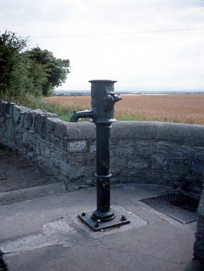 water pumpwater pump · 1322 yd
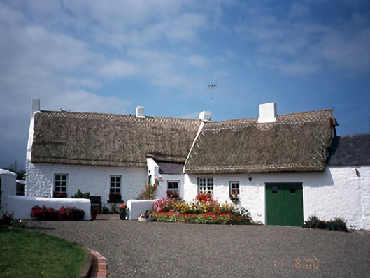 farm housefarm house · 1.0 mi
 Castle (in ruins)Castle, Anglo-Norman masonry castle · 1.1 mi
 Shenick IslandIslet · 1.3 mi
 Skerries BeachVisitor information · 1.6 mi
 Skerries RockMemorial · 1.8 mi
 Flat cemetery in BalcunninFlat cemetery · 1.9 mi
 Colt IslandIslet · 2.0 mi
 Ring-ditch in HacketstownRing-ditch · 731 yd
Other information
Photo: Credit not shown in the picture search · Rights wording not checked; contact us if this picture should be removed