What is recorded here
Situated on a slight E-facing slope in a gently undulating landscape. Archaeological testing (04E0919) by J. Roynane (2005) at Testing Area 8 of Contract 4 of the M3 motorway identified archaeological material (excavations.ie 2004:1309) that was excavated (E003136) by P. Lynch (2010) as Nugentstown 1 from late September 2006 to mid-January 2007 (excavations.ie 2007:1360). Two large adjacent open areas amounting to 7641 square metres were opened enabling isolated features to be recorded in the western Area A. In Area A Structure 1 was a circular area (diam. 5m) defined by an slot-trench (Wth 0.3m; D 0.2m) that had a single fill of loose dark brown sandy silt. There was a gap in the trench (Wth c. 1m) at NE. There was no evidence of a hearth or any other features associated with it, but it is likely to have been a small hut-site. Although it produced no artefacts or other dating material it is likely to be Bronze Age in date. (Lynch 2010, 10-12)
Compiled by: Michael Moore
Date of upload: 23 March 2022
The monument record does not grant public access. Check the route and ask the landowner before entering private land.
- What survives
- Recorded monument
Places near here
 Enclosure in Kilmainham (kells Upper By., Teltown Par.)Enclosure · 1269 yd
 BallybegMountain / peak · 1633 yd
 Enclosure in Kilmainham (headford)Enclosure · 1.2 mi
 Lough WoodWood · 1.2 mi
 CastleCastle, motte · 1.3 mi
 Orchard WoodWood · 1.3 mi
 Castle ruinsCastle · 1.4 mi
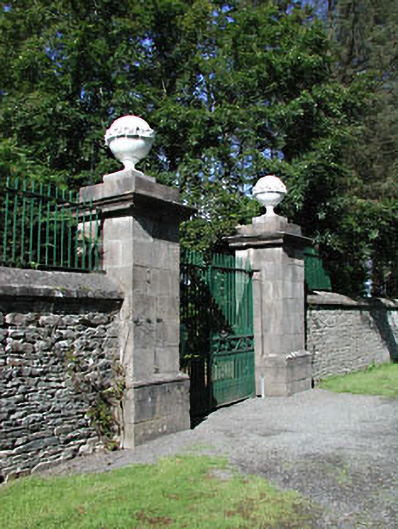 Headfort Housedemesne walls/gates/railings · 1.8 mi
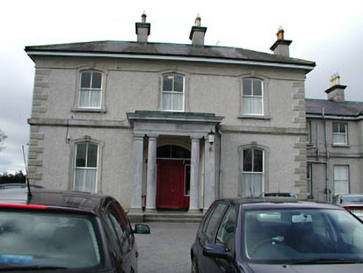 Eurekahouse · 1.9 mi
 Saint John's CemeteryMemorial · 2.0 mi
 The Parnell GardenMemorial · 2.1 mi
 Faughan HillMountain / peak · 3.0 mi