What is recorded here
Reported by Jean-Charles Caillere; visible on Google Earth aerial imagery (2-4-2013) as a circular area (diam. c. 18m) defined by the cropmark of a narrow fosse ENE-S-NW, on a gentle NW-facing slope in pasture.
See attached image: KD019-085----_01 Snip from Google Earth aerial imagery dated 2-4-2013.
Compiled by: Gearóid Conroy
Date of upload: 9 June 2023
The monument record does not grant public access. Check the route and ask the landowner before entering private land.
- What survives
- Recorded monument
Places near here
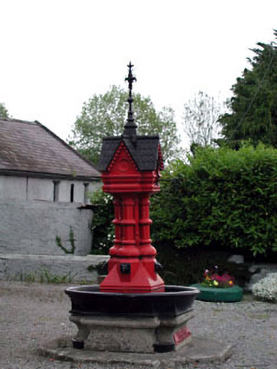 Tickell Memorial Fountainfountain · 889 yd
 Catholic Church of the Immaculate Conceptionchurch/chapel · 897 yd
 MoatEnclosure · 1.3 mi
 Baptismal FontFont · 1.3 mi
 CastleCastle, unclassified · 1.3 mi
 Blackhall Castle (in Ruins)Castle, tower house · 1.4 mi
 European YewEuropean Yew · 1.4 mi
 Deer Park PlantationForest · 2.4 mi
 The Square RenewalMemorial · 3.3 mi
 Dame Ninette de ValoisMemorial · 3.3 mi
 Cupidstown HillMountain / peak · 4.2 mi
 Saggart HillMountain / peak · 5.5 mi