What is recorded here
In grassland. Cropmark of possible conjoined ring-ditch visible on Google Earth orthoimage taken 16/03/2016.
See attached Google Earth orthophoto
Compiled by: Caimin O'Brien based on details provided by Jean-Charles Caillère
Date of upload: 19 July 2022
The monument record does not grant public access. Check the route and ask the landowner before entering private land.
- What survives
- Recorded monument
Places near here
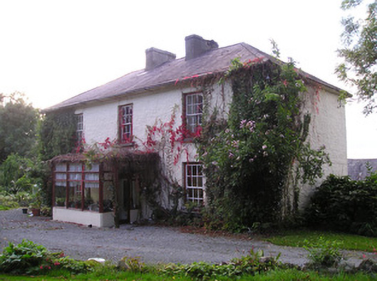 Mortlestown Househouse · 546 yd
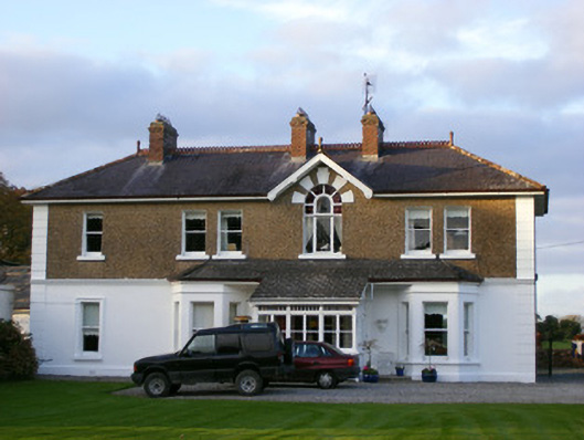 Sycamore Lodgehouse · 1121 yd
 Enclosure in MortlestownEnclosure · 1221 yd
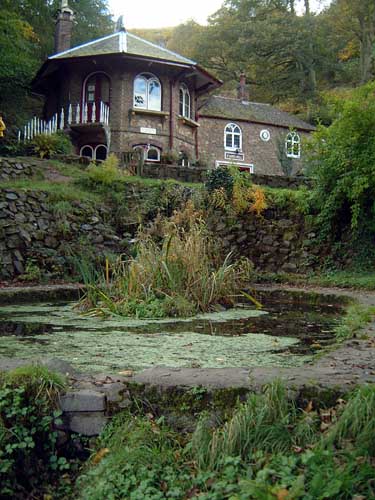 St. Annes WellHoly well · 1305 yd
 Ballyhoura tourist informationVisitor information · 2.0 mi
 Treada Na Ríogh (The Moat), hachuredCastle, motte · 2.1 mi
 Castle (in ruins)Castle, tower house · 2.1 mi
 Gooseberry HillMountain / peak · 2.4 mi
 Castle PhilipMountain / peak · 2.4 mi
 St Bridget's WellSpring · 2.9 mi
 Palatine's RockNamed rock · 3.1 mi
 ToberpatrickSpring · 3.2 mi