What is recorded here
Located on a slight SW-facing slope. The cropmark of a circular area (int. diam. c. 10m) defined by a single ditch feature (Wth c. 1-2m) is visible on Bing Images (c. 2013). There is a possible entrance gap (Wth c. 2-3m) at NE. It is also visible on aerial images (OSAP: 1995), Digital Globe (2013) and Google Earth (012/07/2013; 14/07/2018).
Compiled by: Michael Moore
Date of upload: 12 August, 2014
Amended: 21 August 2019
The monument record does not grant public access. Check the route and ask the landowner before entering private land.
- What survives
- Recorded monument
Places near here
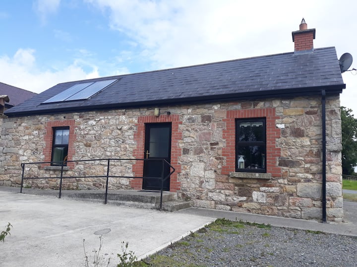 Enclosure in WindtownEnclosure · 1056 yd
 Ginnets MoatCastle, motte · 1100 yd
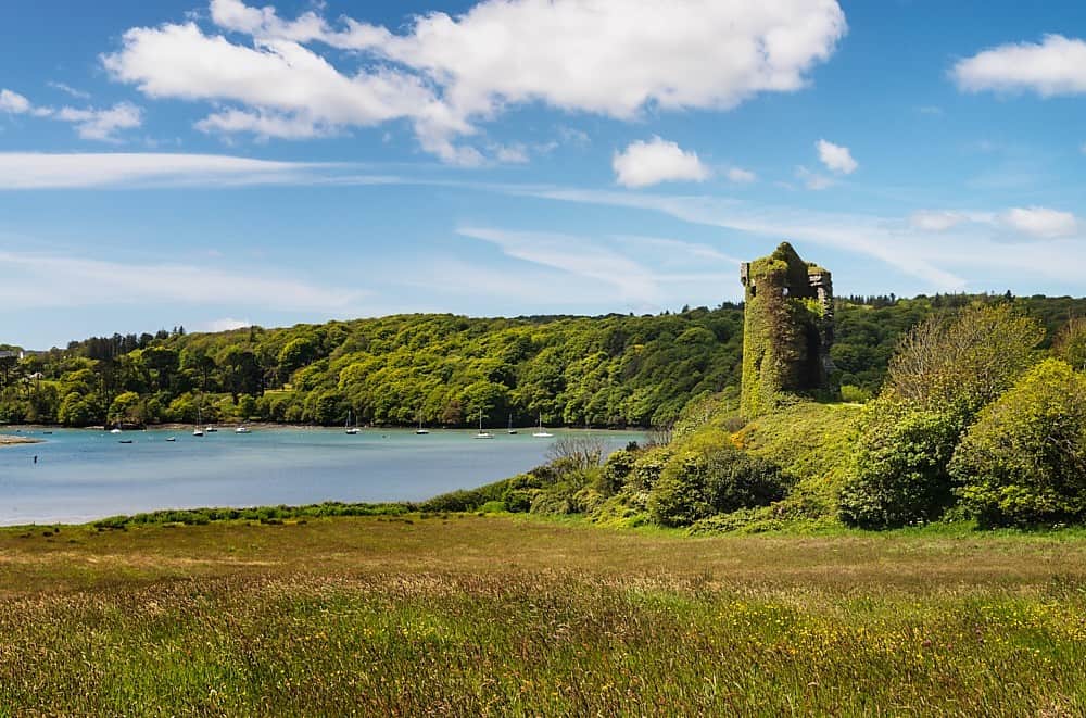 Walshs RaheenFairy fort / earthen ringfort · 1.0 mi
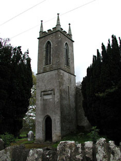 Saint Mary's Church (Galtrim)church/chapel · 1.3 mi
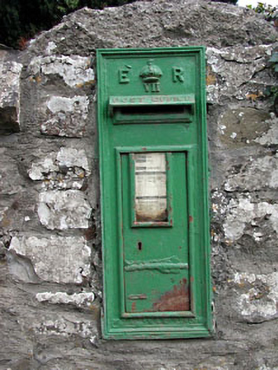 post boxpost box · 1.3 mi
 Galtrim MoatCastle, motte · 1.4 mi
 Saints IslandForest · 1.7 mi
 European ashEuropean ash · 2.9 mi
 Battle of Tara (Ireland)Major battlefield · 5.8 mi
 Battle of Tara Hillbattle · 5.8 mi
 Saint Patrick'sMemorial · 6.0 mi
 Tara Open StudioGallery · 6.0 mi