What is recorded here
Monitoring of a large scale development in 2002 revealed a possible ring-ditch with several associated deposits of burnt material in sub-circular cut pits (Mc Cabe 2004a, 175). This had rounded terminals opening westwards. There was no evidence for a corresponding bank. The base of the terminals contained five carbonised slit planks associated with burnt bone (Mc Cabe 2004b, 175).
Compiled by: Geraldine Stout
Date of upload: 26 August 2011
The monument record does not grant public access. Check the route and ask the landowner before entering private land.
- What survives
- Recorded monument
Places near here
 Cremation pit in LuskCremation pit · 349 yd
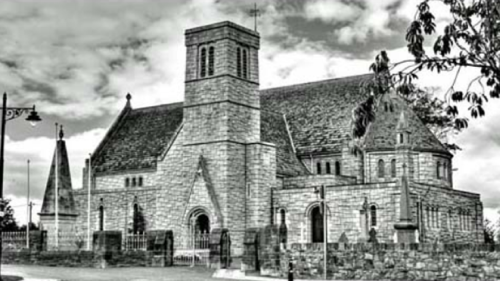 St. Maccullins WellHoly well · 384 yd
 Chapel FarmMemorial · 392 yd
 Lusk Tidy TownsMemorial · 402 yd
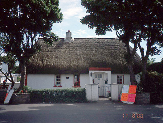 Clay Cottagehouse · 422 yd
 Church in LuskChurch · 597 yd
 CastleCastle, unclassified · 1.5 mi
 The Birds of Rogerstown EstuaryVisitor information · 1.7 mi
 Turvey Allotments and Nature ReserveNature reserve · 1.9 mi
 Turvey HouseCastle, tower house · 2.0 mi
 Picnic AreaPicnic place · 2.0 mi
 Newbridge House and DemesneHeritage attraction · 2.6 mi
Other information
Photo: Credit not shown in the picture search · Rights wording not checked; contact us if this picture should be removed