
What is recorded here
Located within level tillage between the M1 and R132. A ring-ditch (diam. c. 12m) visible as a cropmark on an aerial photograph (CUCAP, BDS 49). Also visible on Bing (viewed 16/01/2015). Not visible at ground level.
Compiled by: Geraldine Stout
Updated by: Christine Baker
Date of upload: 16 January 2015
The monument record does not grant public access. Check the route and ask the landowner before entering private land.
- What survives
- Recorded monument
Places near here
 Burnt mound in Belinstown (nethercross By.)Burnt mound · 382 yd
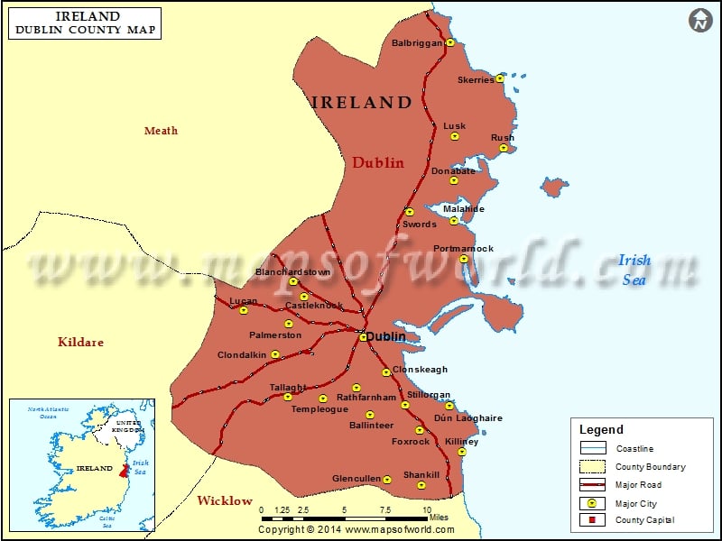 Field system in Lissenhall LittleField system · 722 yd
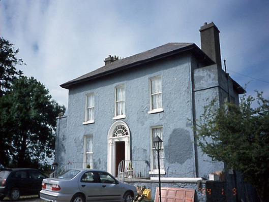 Lissen Hall Littlecountry house · 943 yd
 Castle (Site of)Castle, tower house · 946 yd
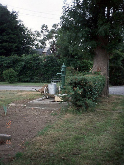 water pumpwater pump · 1092 yd
 Shannon Valley CentreVisitor information · 1223 yd
 Redleaf Business ParkVisitor information · 1247 yd
 Graveyard (Disused)Church · 1.1 mi
 Lanestown Castle in ruinsCastle, tower house · 1.1 mi
 Turvey Allotments and Nature ReserveNature reserve · 1.5 mi
 Newbridge House and DemesneHeritage attraction · 1.6 mi
 Donabate Distributor RoadMemorial · 1.6 mi
Other information
Photo: Credit not shown in the picture search · Rights wording not checked; contact us if this picture should be removed