
What is recorded here
This site was subject to geophysical survey (Licence no. 08R117) and test excavation (Licence no. 09E0448) as part of the proposed Metro North development. A burnt spread (11m x 7) was identified which consists of frequent heat cracked stone within a charcoal rich matrix (Hession 2009, 25).
Compiled by: Christine Baker
Date of upload: 5 February 2015
Burnt mound in Belinstown, likely dating to the Neolithic or Bronze Age, represents a domestic or ritual site characterized by the accumulation of heat-shattered stones. Its discovery contributes to understanding of prehistoric activity in the region.
The monument record does not grant public access. Check the route and ask the landowner before entering private land.
- What survives
- Recorded monument
Places near here
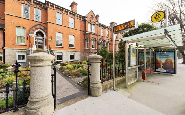 Ring-ditch in Lissenhall LittleRing-ditch · 382 yd
 Castle (Site of)Castle, tower house · 575 yd
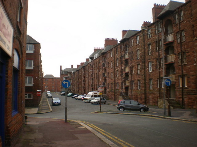 BarrowBarrow, unclassified · 724 yd
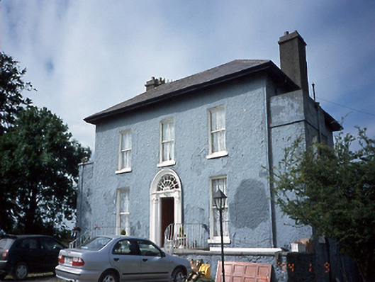 Lissen Hall Littlecountry house · 1047 yd
 Shannon Valley CentreVisitor information · 1319 yd
 Redleaf Business ParkVisitor information · 1340 yd
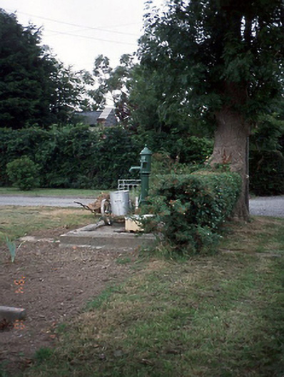 water pumpwater pump · 1461 yd
 Lanestown Castle in ruinsCastle, tower house · 1.3 mi
 Graveyard (Disused)Church · 1.3 mi
 Turvey Allotments and Nature ReserveNature reserve · 1.6 mi
 Newbridge House and DemesneHeritage attraction · 1.7 mi
 Donabate Distributor RoadMemorial · 1.8 mi
Other information
Photo: Credit not shown in the picture search · Rights wording not checked; contact us if this picture should be removed